Intro
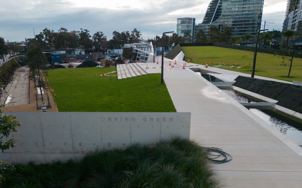
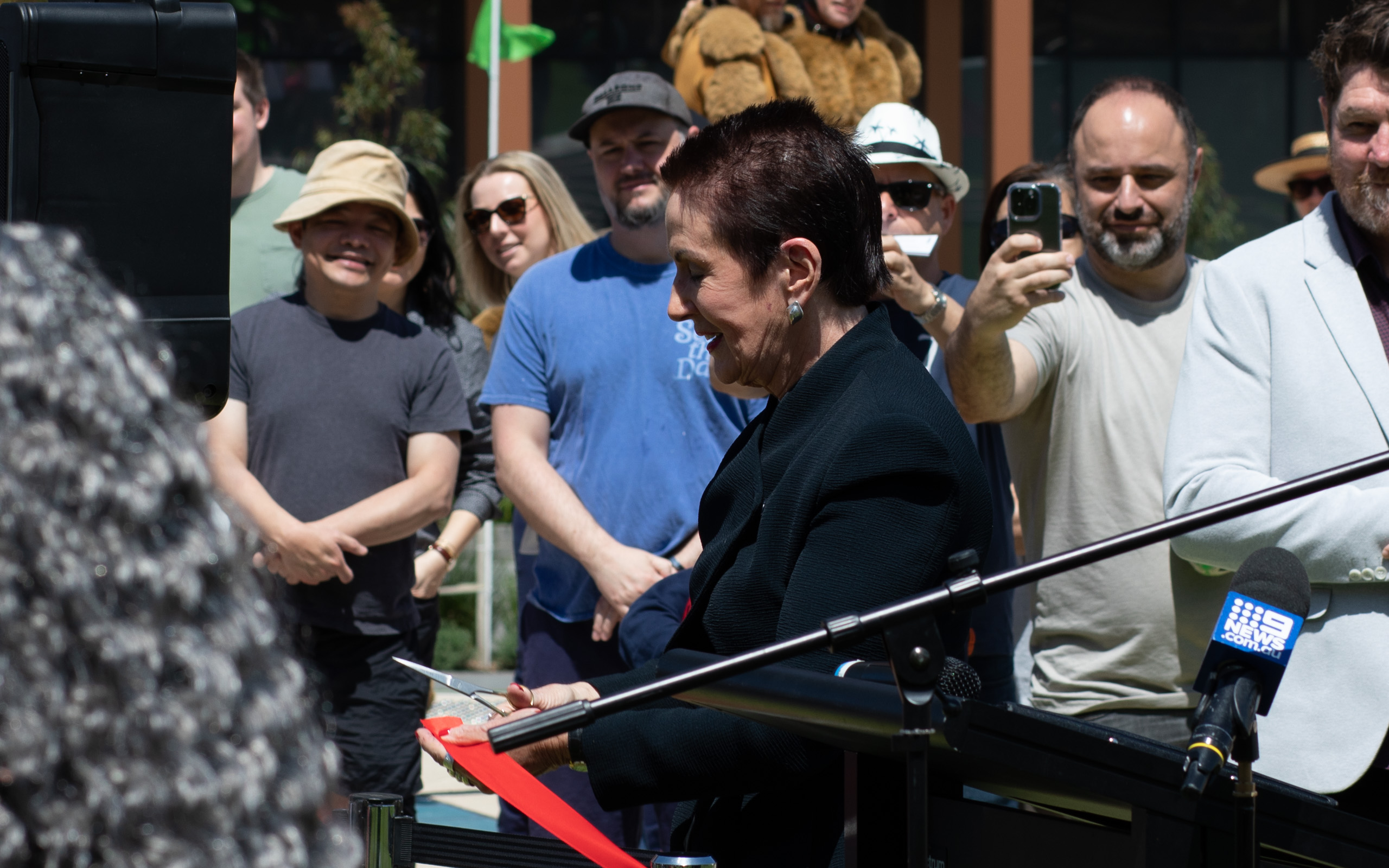
On Saturday the 15th of October, Clover Moore (Lord Mayor of the City of Sydney) opened The Drying Green, the new centerpiece park of Green Square. It’s been in construction since March 2018 and includes areas of grass, wetlands which filter stormwater before it enters the wider system, and a barbecue and seating area. It also includes Stream, a solar powered artwork highlighting the sites connection to water.
The park sits between the Green Square Town Centre, a public plaza that contains the Green Square Library, and a vacant site which will contain a public school in time. To the north of the site are under construction apartments, with completed apartments to the south.
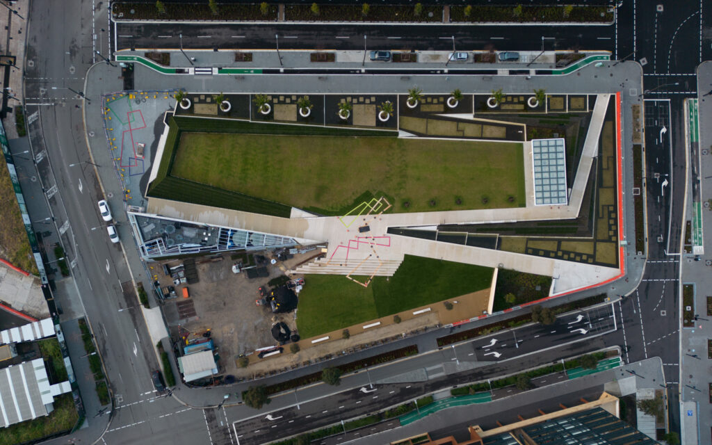
I captured drone imagery (following CASA rules) when construction was almost completed so that I could survey the site and add the new features and bicycle facilities to OpenStreetMap, which powers the maps on Facebook, Instagram, Strava, Maps.me, Wikipedia and on the City of Sydney website itself.
It forms one of the pieces of a “spine” of public spaces from the Green Square station to the north-east, the library and public plaza, this park, the under construction primary school directly to the east, Gunyama Park Aquatic and Recreation Centre and the Joynton Avenue Creative Centre to the south-east.
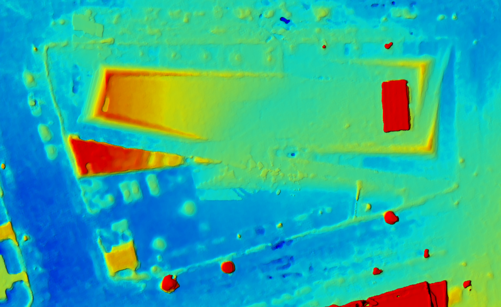
The Drying Green on OpenStreetMap. I added the details from orthoimagery I derived from the drone imagery, which I uploaded to OpenAerialMap under CC BY-NC 4.0: https://map.openaerialmap.org/#/151.20587468147278,-33.90851167467649,18/square/311230133020033/62e7e606d849980005379761?_k=aonikx. I followed all CASA laws for sub 250gm drones in the process.
The grass slope to the top left (north-west) is considerably elevated, and gives the space a feeling of enclosure and provides a soft edge for the public space.
Construction
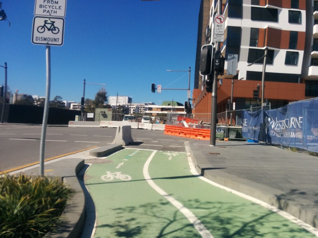
I’ve captured street imagery for a number of years to contribute to Mapillary and other datasets. These platforms assists myself and other volunteer surveyors improve OpenStreetMap which powers a number of cycling and pedestrian focused maps. On a number of occasions I’ve caught glimpses of the new park in construction.
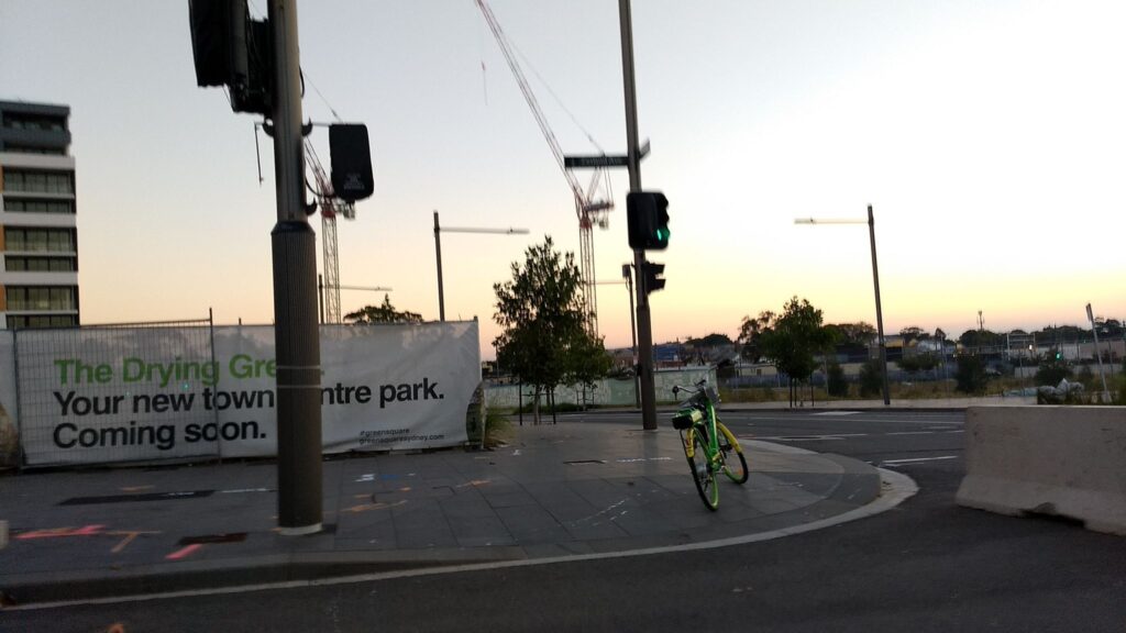
Street level imagery captured by author, May 19, 2019. Image license CC BY-SA.
(If the Mapillary embeds aren’t working you will likely need to enable cookies or exit private mode unfortunately. Alternatively, explore the imagery at Mapillary.
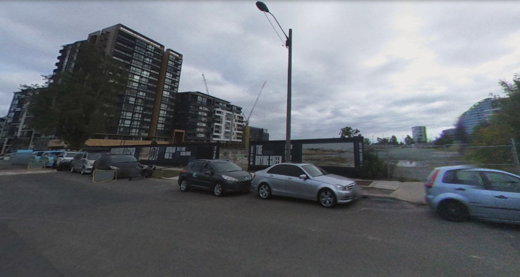
Corner of Portman Street and present day Zetland Avenue (Zetland Avenue didn’t exist at that time). Street level imagery I collected, LG 360, Jun 4, 2020. Image license CC BY-SA.
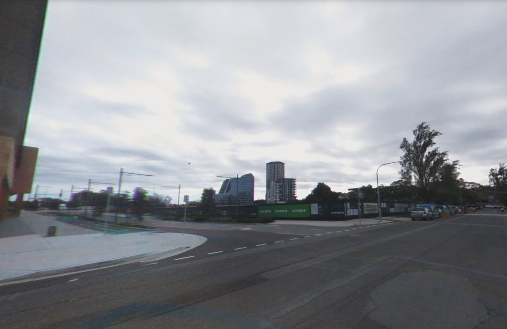
Corner of Zetland Avenue and Geddes Avenue. Street level imagery I collected, LG 360, Jun 4, 2020. Image license CC BY-SA.
Corner of Geddes Avenue and Paul Street, Sep 4, 2019. Image license CC BY-SA.
Before (left) image captured by Mapillary user “bikesydney”, captured Sep 5, 2015 (please say hello if this is you). After image captured by me, 16th October 2022. Image license CC BY-SA.
The cycling infrastructure is hugely improved, but it’s hard not to feel a sense of loss for the dense trees.
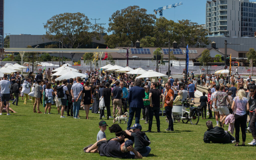
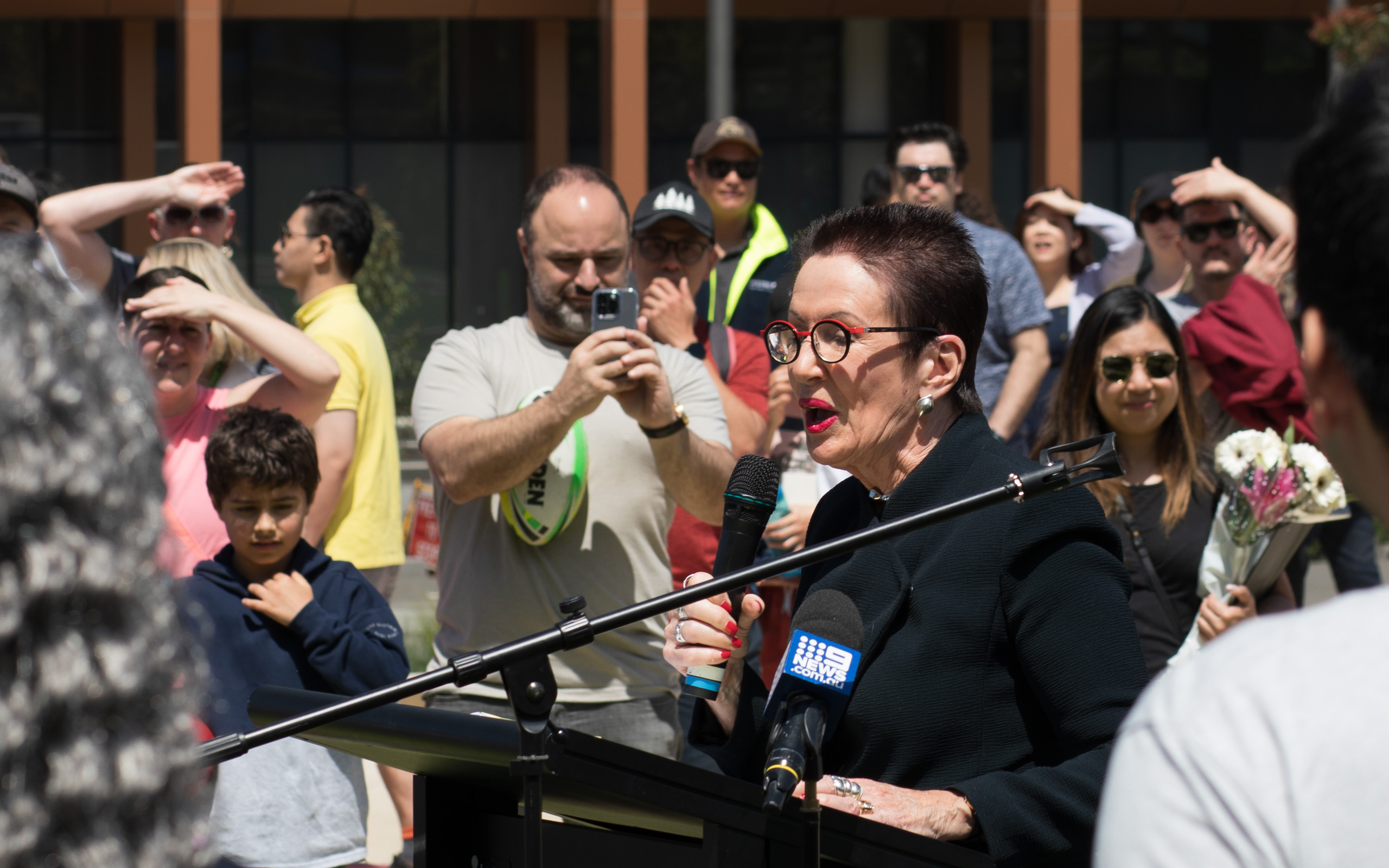
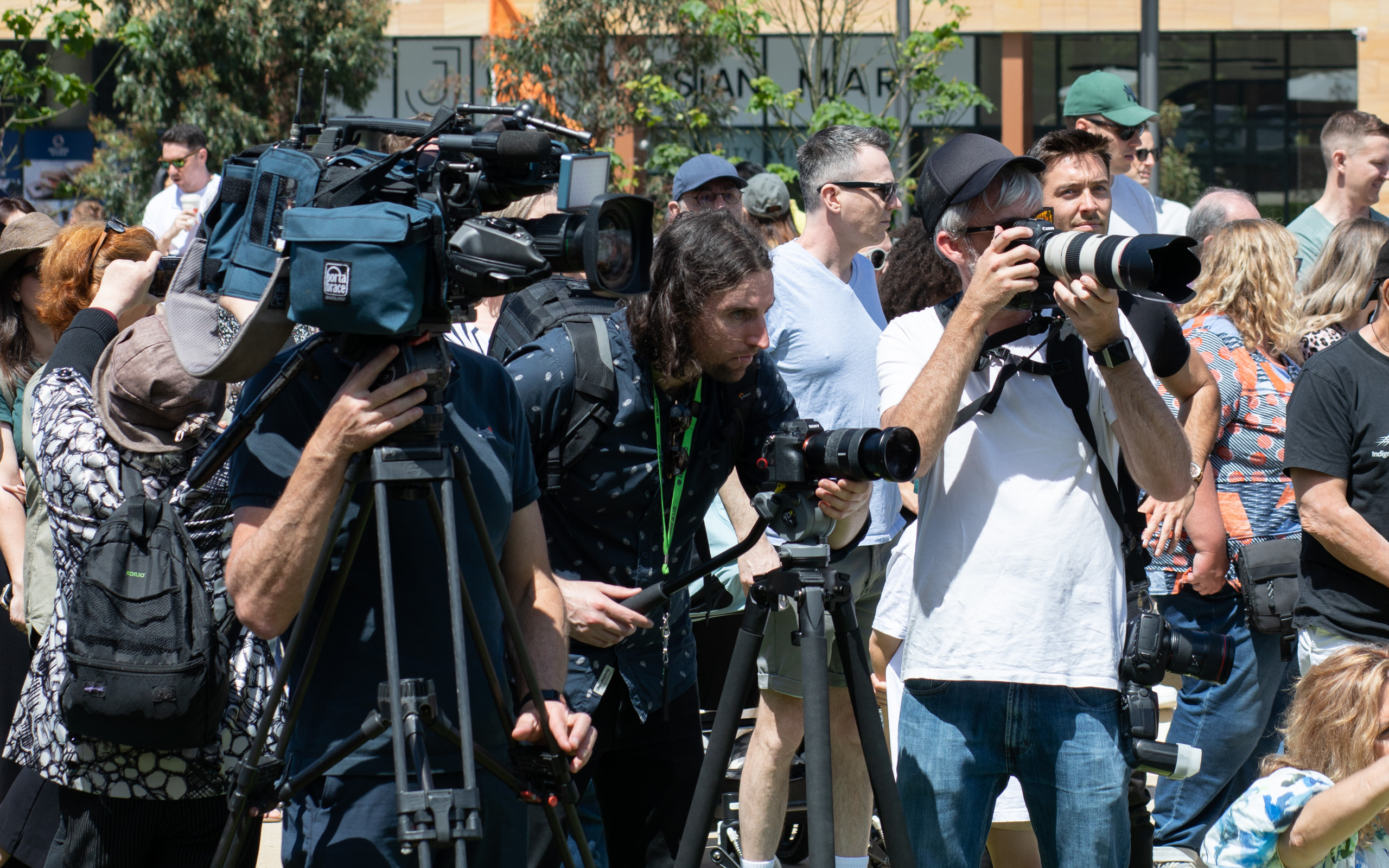
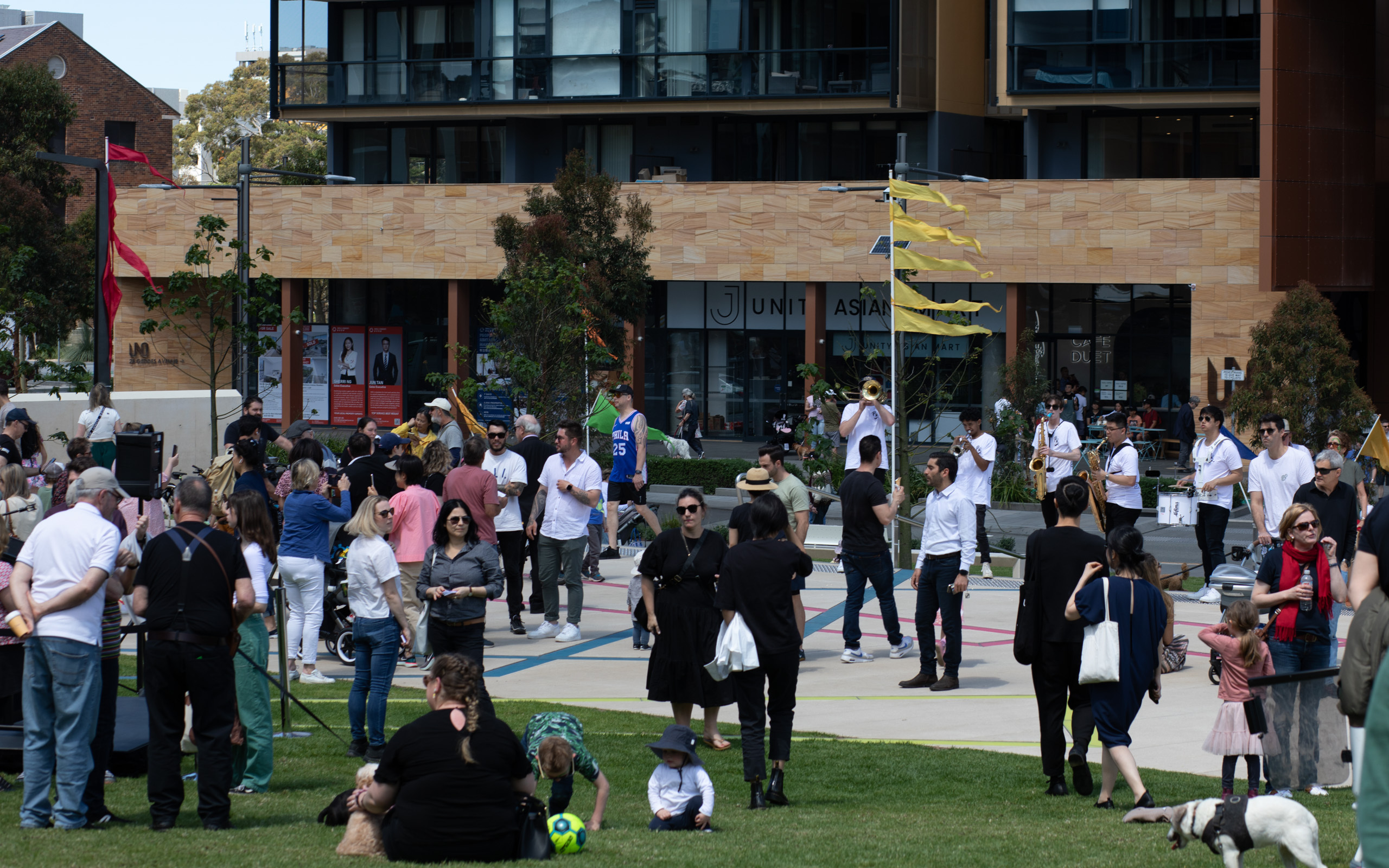
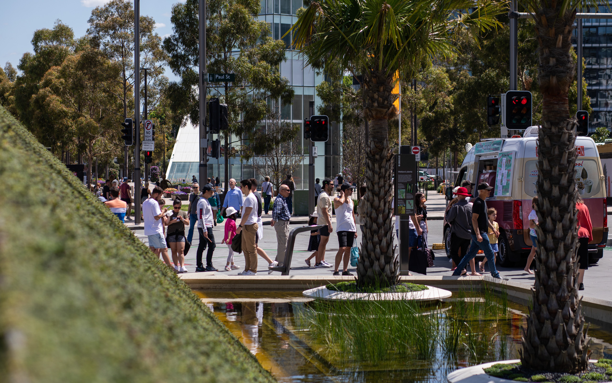
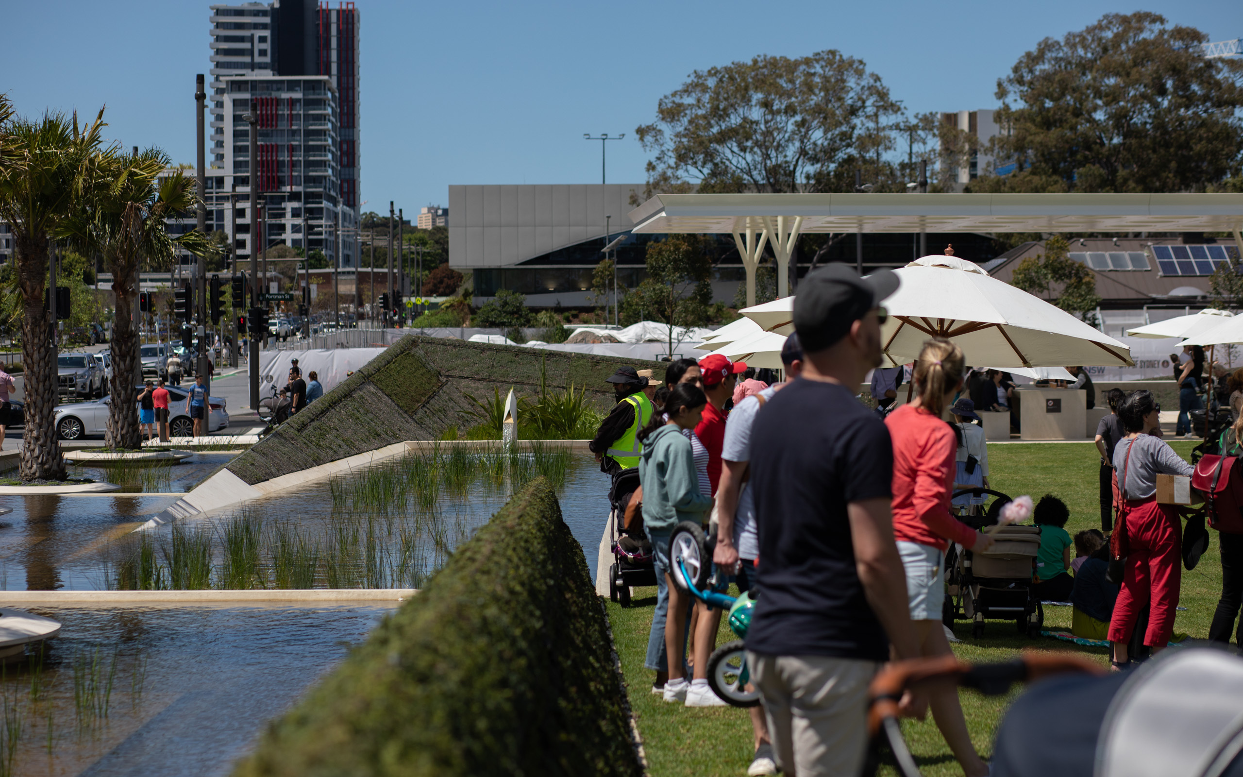
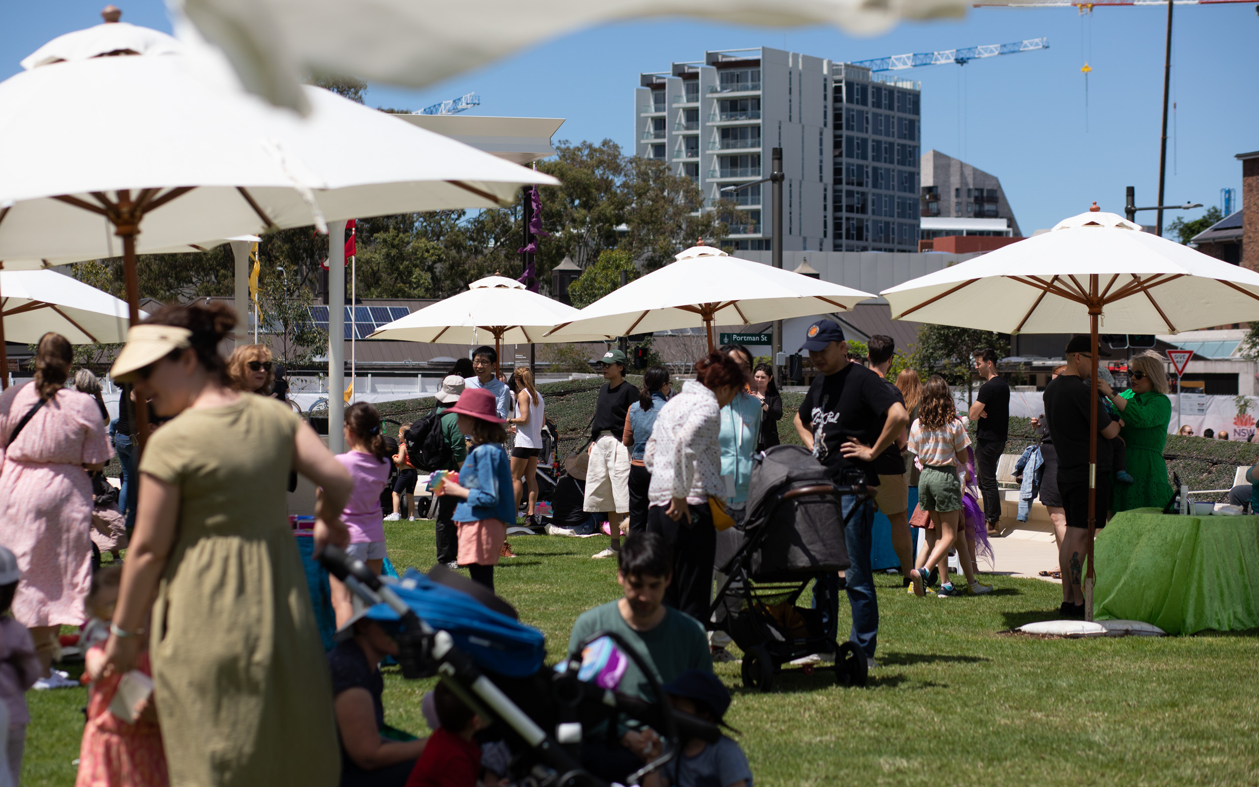
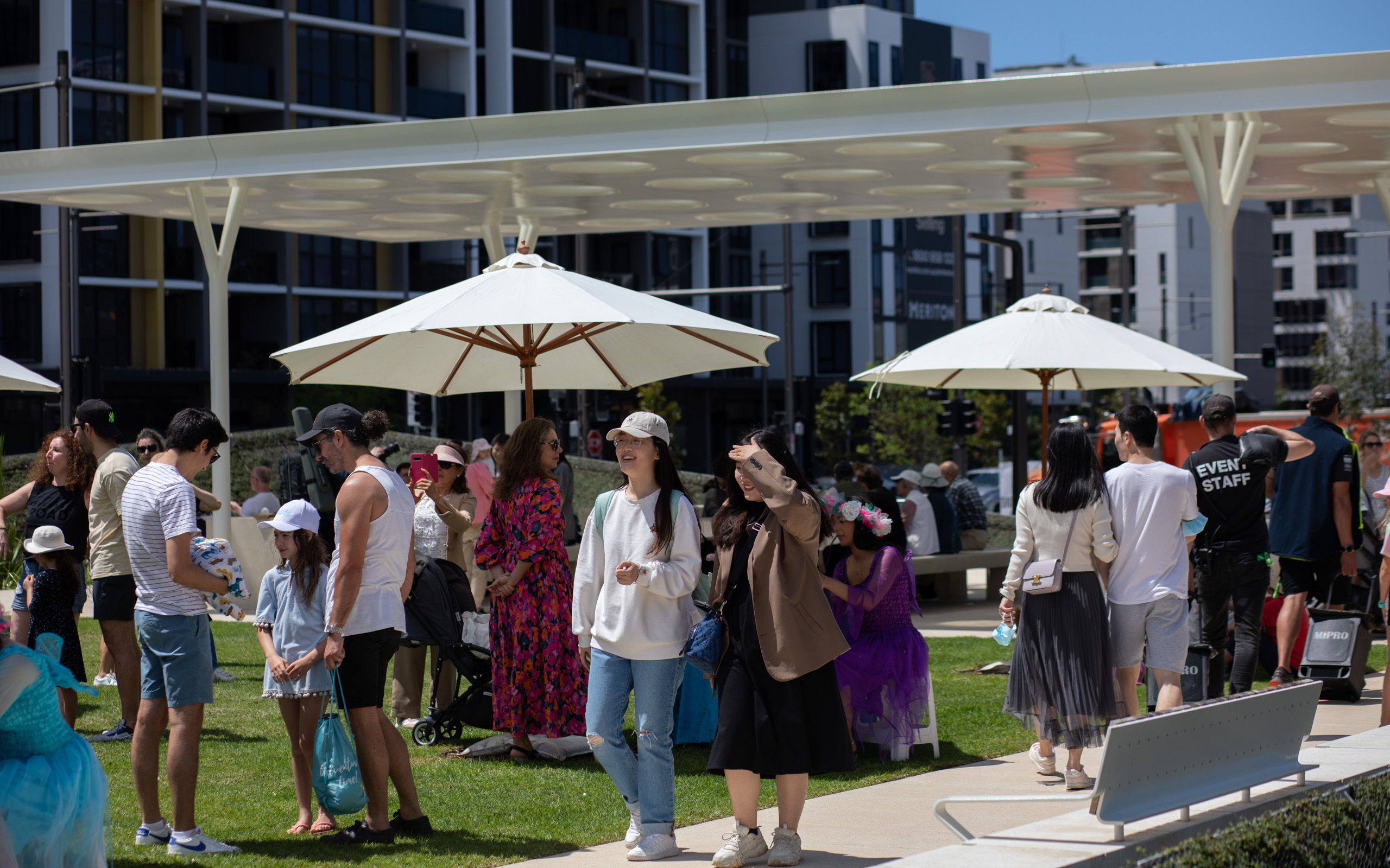
Opening day, 15/10/2022
The crowd was possibly the largest group of people I’ve seen in Green Square, which is usually a very quiet area. A number of apartment buildings are still in construction nearby, increasing the number of people who will enjoy the park in future.
If you enjoyed this article please consider subscribing via email or RSS feed below!
Leave a Reply