Map live at SydneyAdvertisingMap.com. See also: Max Bo’s analysis of how many placed next to Telstra telephones: https://observablehq.com/@mjbo/sydney-qms-panel-public-telephone-pairings
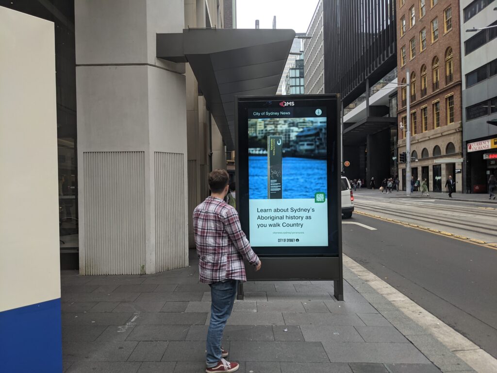
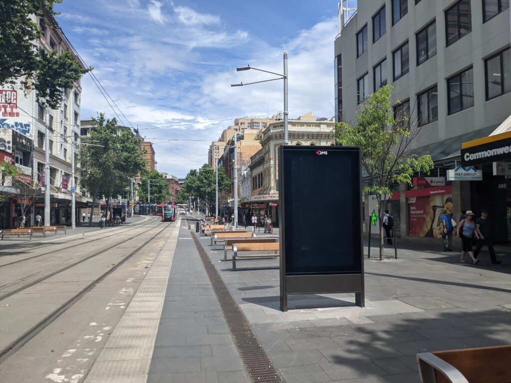
If you live in Sydney you will have seen them – the 86 inch advertising screens in the City of Sydney Council. These advertising panels are known as communication pylons in the language of the developer approvals. The Sydney Morning Herald reported the City of Sydney paused the rollout due to community backlash.
Through August and October I visited every QMS advertising panel in the City of Sydney. I surveyed their location and ref code to add to OpenStreetMap, an open geospatial database that powers many maps worldwide. I uploaded photos of many displays to Mapillary, a platform for openly licensed street imagery, which you can view by clicking on pins in the map above.
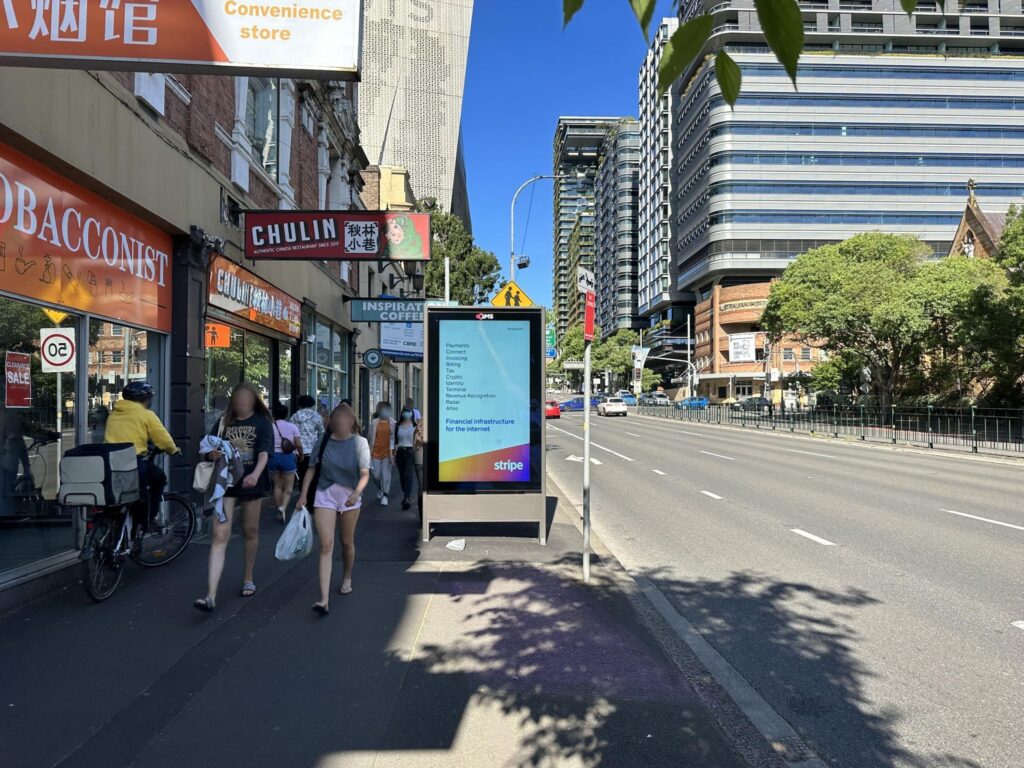
Travelling on foot and by bike I found many examples of this street furniture blocking footpaths and reducing pedestrian amenity.
I hope this open data, map and photographs encourages and enables further public discussion, such as where problematic panels are located, and what role large format outdoor advertising has on Sydney’s streets.
If you find any screens that aren’t on this list, or any data is incorrect, please comment below or send an email to [email protected] with “QMS” in the title. If you’re interested, you can head to OpenStreetMap.org and contribute yourself!
Table of contents
Website
I created SydneyAdvertisingMap.com to visualise this data. It is open source on Github (GPLv3), and displays the data in an easy to understand form.
As of October 31:
- There are 144 mapped panels QMS panels (excluding bus shelters) in the City of Sydney (https://overpass-turbo.eu/s/1nbB)
- 30 panels do not have a ref code mounted on them (https://overpass-turbo.eu/s/1nbC)
Panel placement
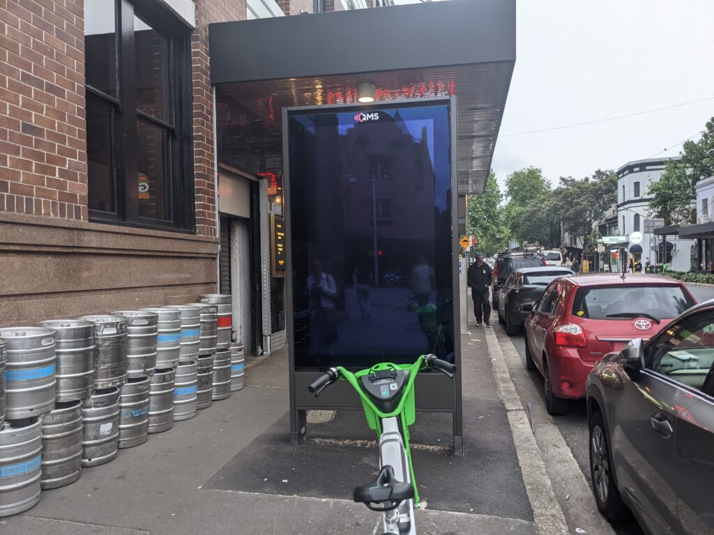
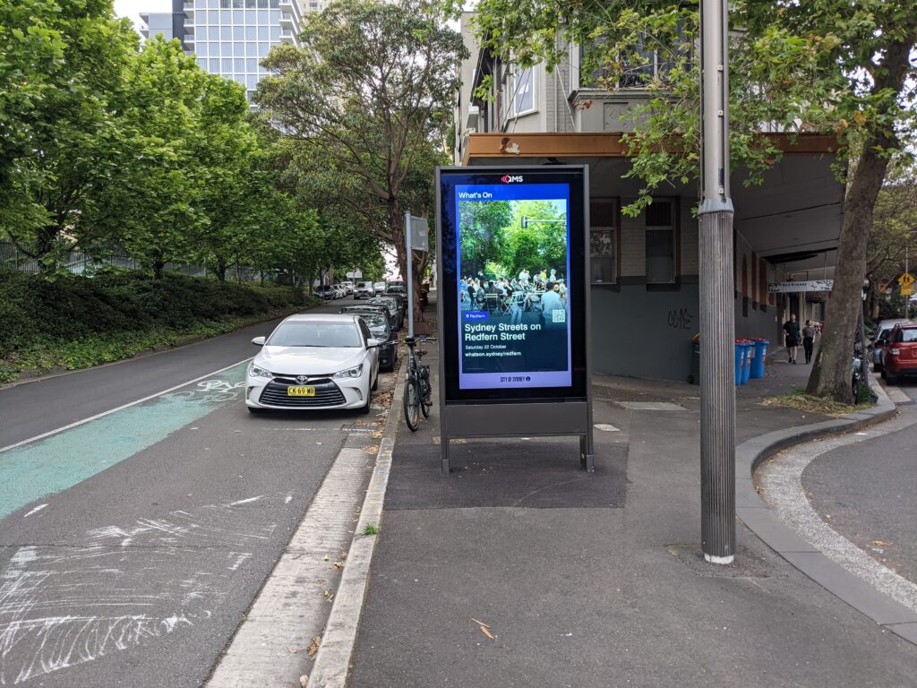
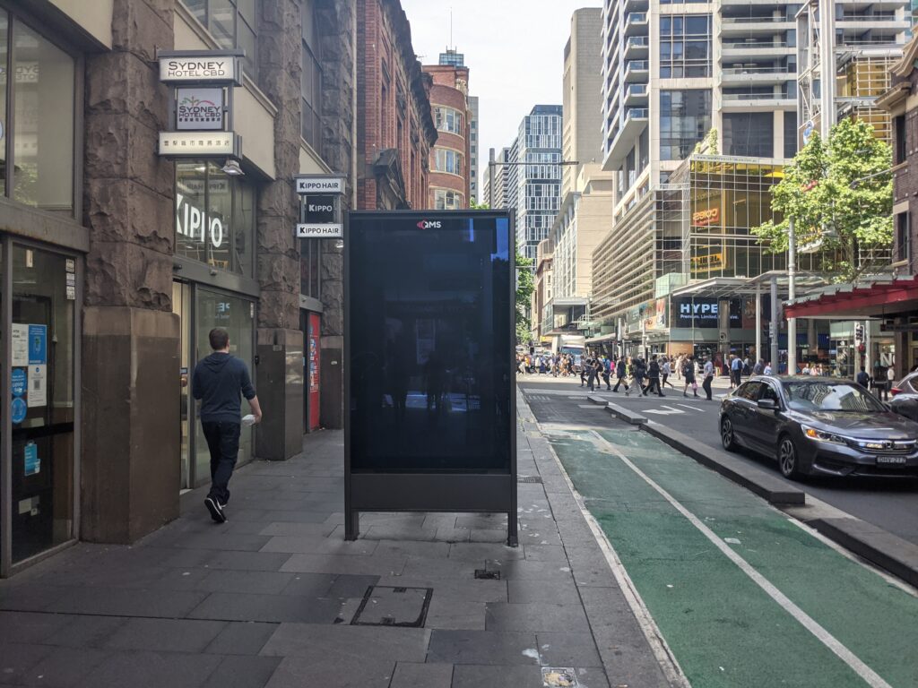
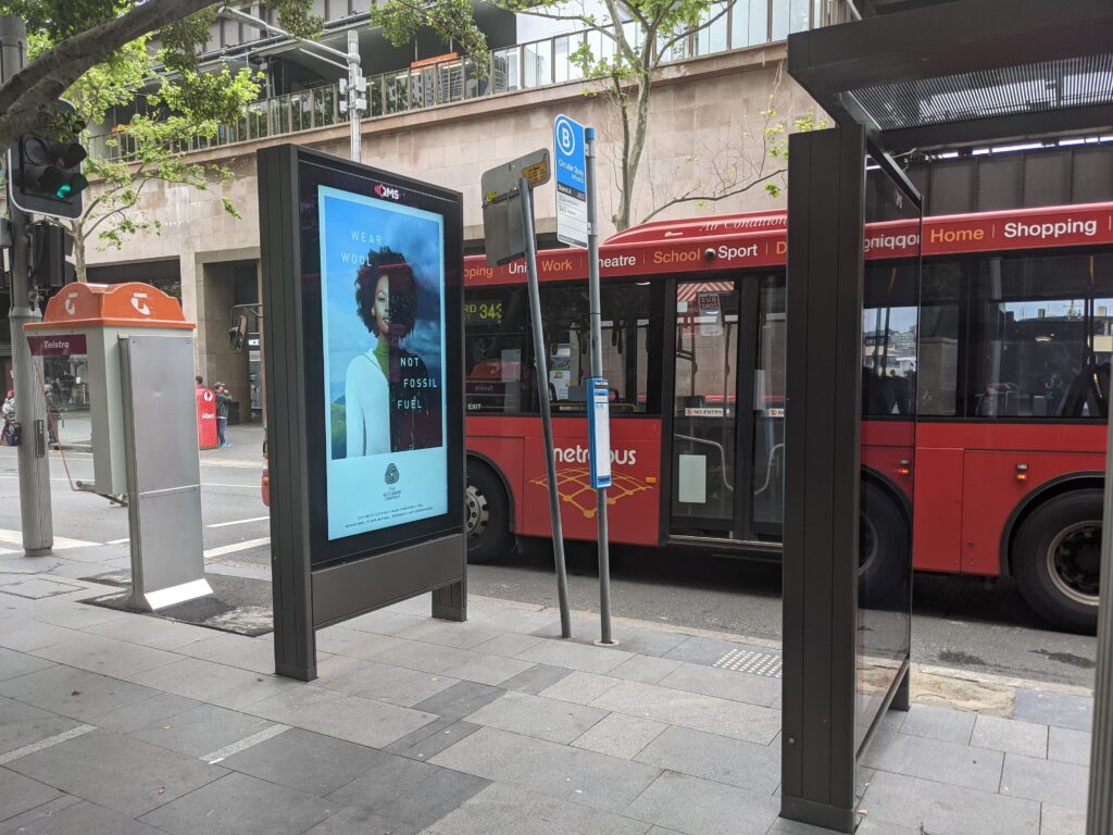
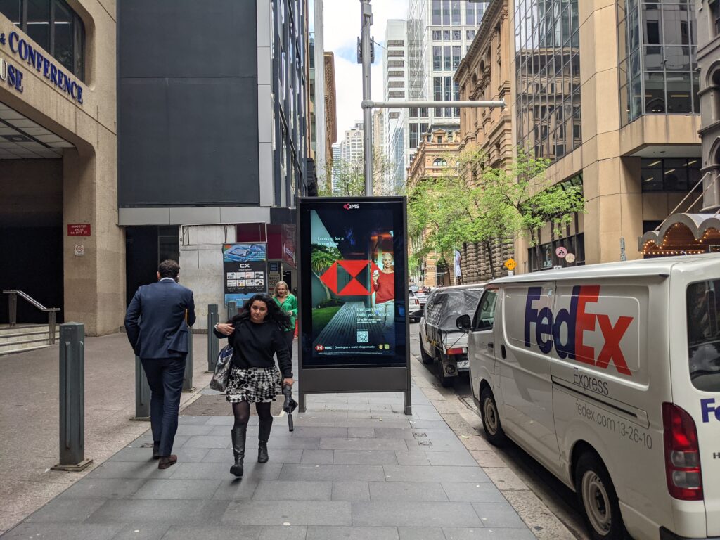
Most panels are placed on footpaths in the direction of pedestrian and car flow. They are placed nearest the road.
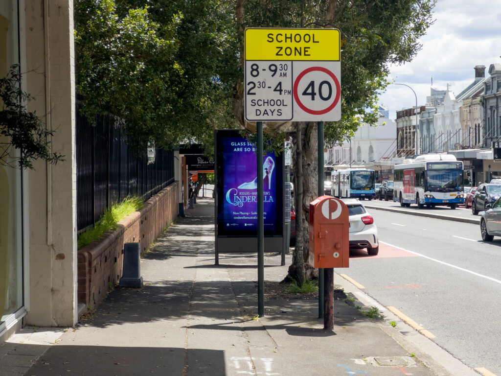
Many panels are placed next to an existing Telstra public telephone (though many are not). In these cases, the City of Sydney information side is facing the Telephone, and obstructed by the telephone. The commercial advertising side is always unobstructed by the telephone. I also surveyed nearby telephones on OSM while surveying the panels – I have not yet queried the percentage of panels near a telephone but this is possible. Edit: See Max Bo’s analysis of how many are placed next to telephones: https://observablehq.com/@mjbo/sydney-qms-panel-public-telephone-pairings
In their 2007 survey of Sydney’s street life, Gehl Architects noted the amount of footpath clutter caused by the public phones. This issue has seemingly not been resolved.
The pay phones obviously serve two purposes. One is the service of offering the inhabitants a public phone another is to place commercial ads in the City Centre to be viewed by people passing by. In order to place these ads in the best viewable way the pay phones are installed facing the footpath and thus blocking pedestrian movement in a number of streets.
“Public Spaces – Public Life, Sydney”, Gehl Architects 2007, Part 1, Page 58
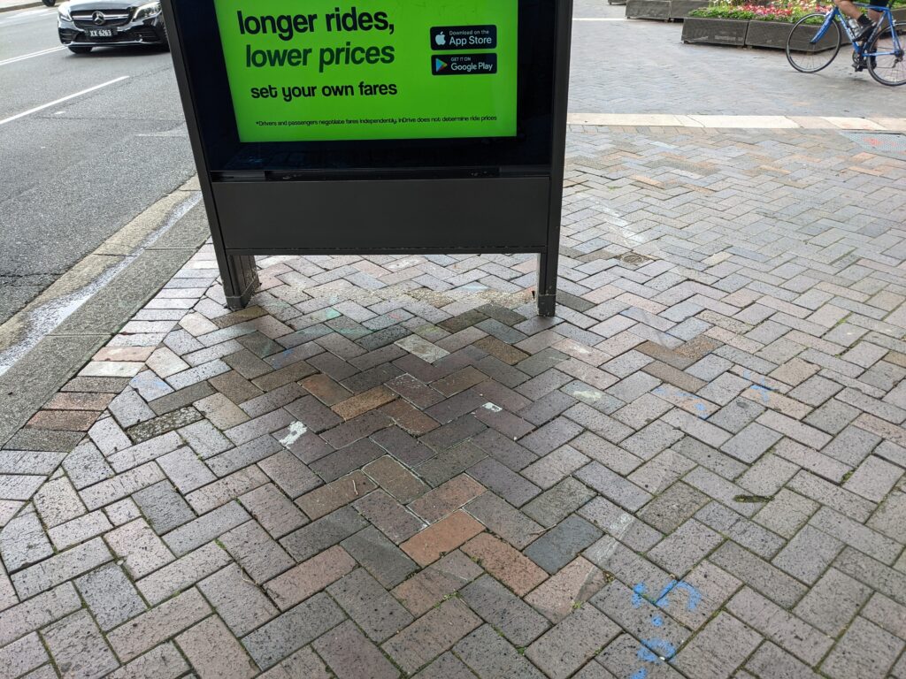
Some panels are placed where a City of Sydney kiosk used to be. You can see the outside of the distinctive kiosk shape on the pavement in a couple of areas. The removal of the kiosk is also a reduction in pedestrian amenity.
The ref code is on a silver coloured metal plaque on the inside of one of the legs. Some screens are missing a ref code – I am unsure what the development approval status of these are.
Examples of screens blocking footpaths
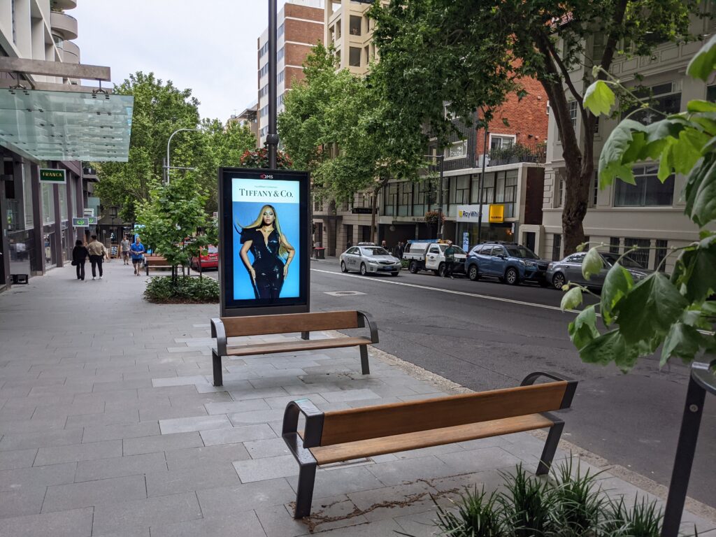
Advertising screens obstructing seating views
Further reading
- Sydney Morning Herald series: https://www.smh.com.au/topic/qms-19c
- “QMS Reveals First City of Sydney Communication Panels”, QMS Media, 1st June 2022. qmsmedia.com/qms-reveals-first-city-of-sydney-communication-panels/
- Clover Moore’s update on street furniture and advertising panels: linkedin.com/posts/clovermooresydney_i-want-to-give-you-an-update-on-city-of-sydneys-activity-6982951529779527680-1jys
If you enjoyed this article, please consider subscribing via email or RSS below!
Appendix: OpenStreetMap survey method
To identify the streets and neighbourhoods the panels would likely be I looked through development approval documents.
I then methodically visited each street, either on foot or on bicycle. I added each advertising panel to OpenStreetMap with the following tags:
advertising=poster_box
animated=screen
lit=yes
operator=QMS
operator:website=https://www.qmsmedia.com/
sides=2
support=ground
ref=...
mapillary=...
(If you have a suggestion for better tags please let me know!)
I took photos of many of these panels, which I uploaded to Mapillary. I also added the Mapillary image ID to the advertising panel nodes.
Some screens are missing a ref code, for these I set ref=none. I set ref=unknown where I forgot to survey a ref code (only one or two).
Appendix: Geospatial data
Download geospatial data of QMS ad panels (surveyed by me, under ODbL licence). This is already out of date, fetch the latest at https://overpass-turbo.eu/s/1nbB
Leave a Reply