Tag: openstreetmap
-
Introducing the Heart Foundation’s Community Walkability Map
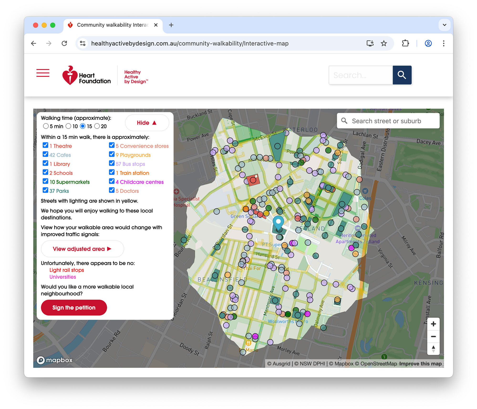
I’m pleased to share the completion of a recent commercial engagement with the Heart Foundation: the Community Walkability Map, a new interactive tool designed to help communities understand and advocate for more walkable, healthier neighbourhoods.
-
Which Australian councils are building the most cycleways?
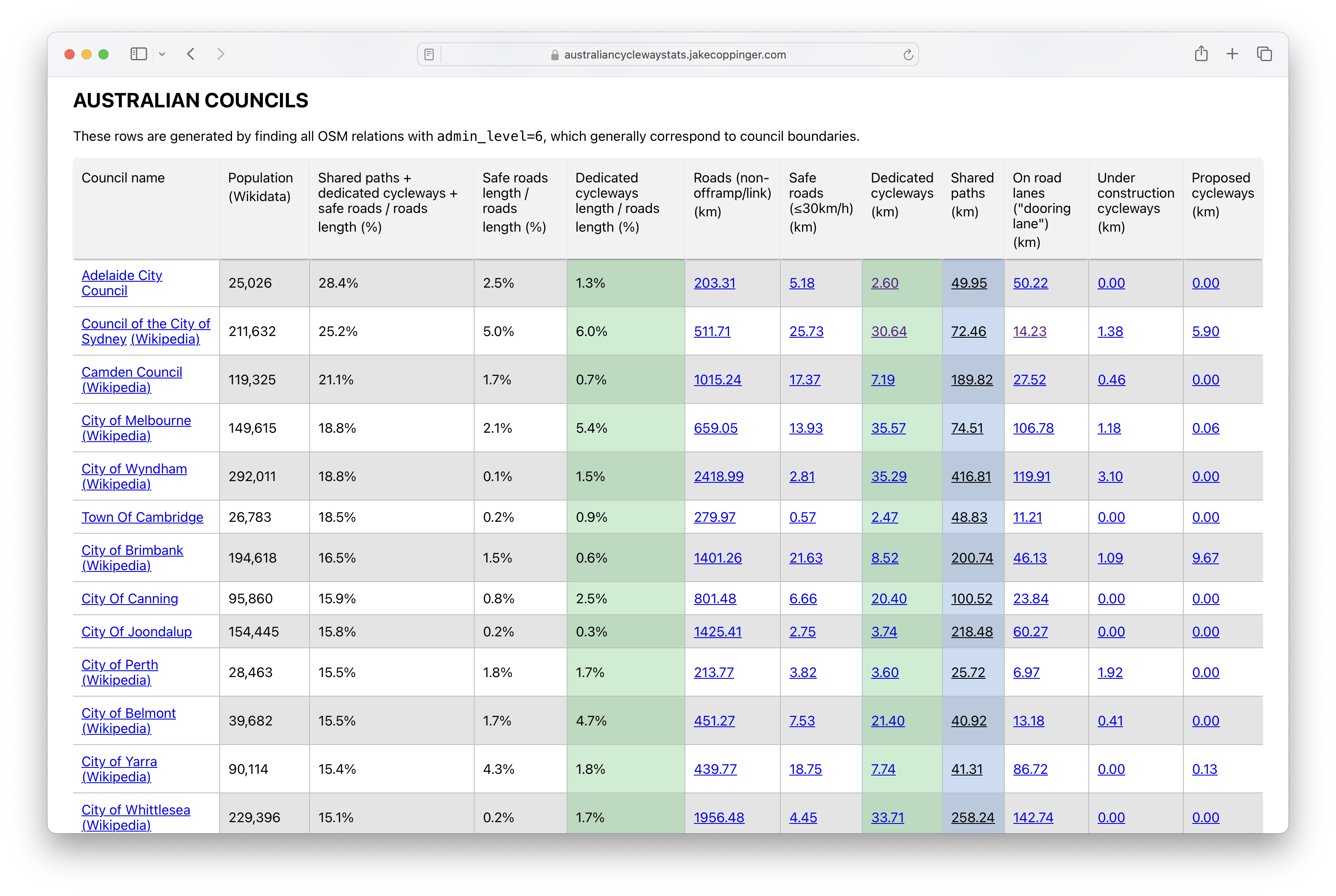
Australian Cycleway Stats is a dashboard that provides an in-depth look at the kilometres of cycleways and safe streets in every Australian council, encompassing current, under-construction, and proposed projects, as well as international benchmarks.
-
Contraflow streets in the City of Sydney
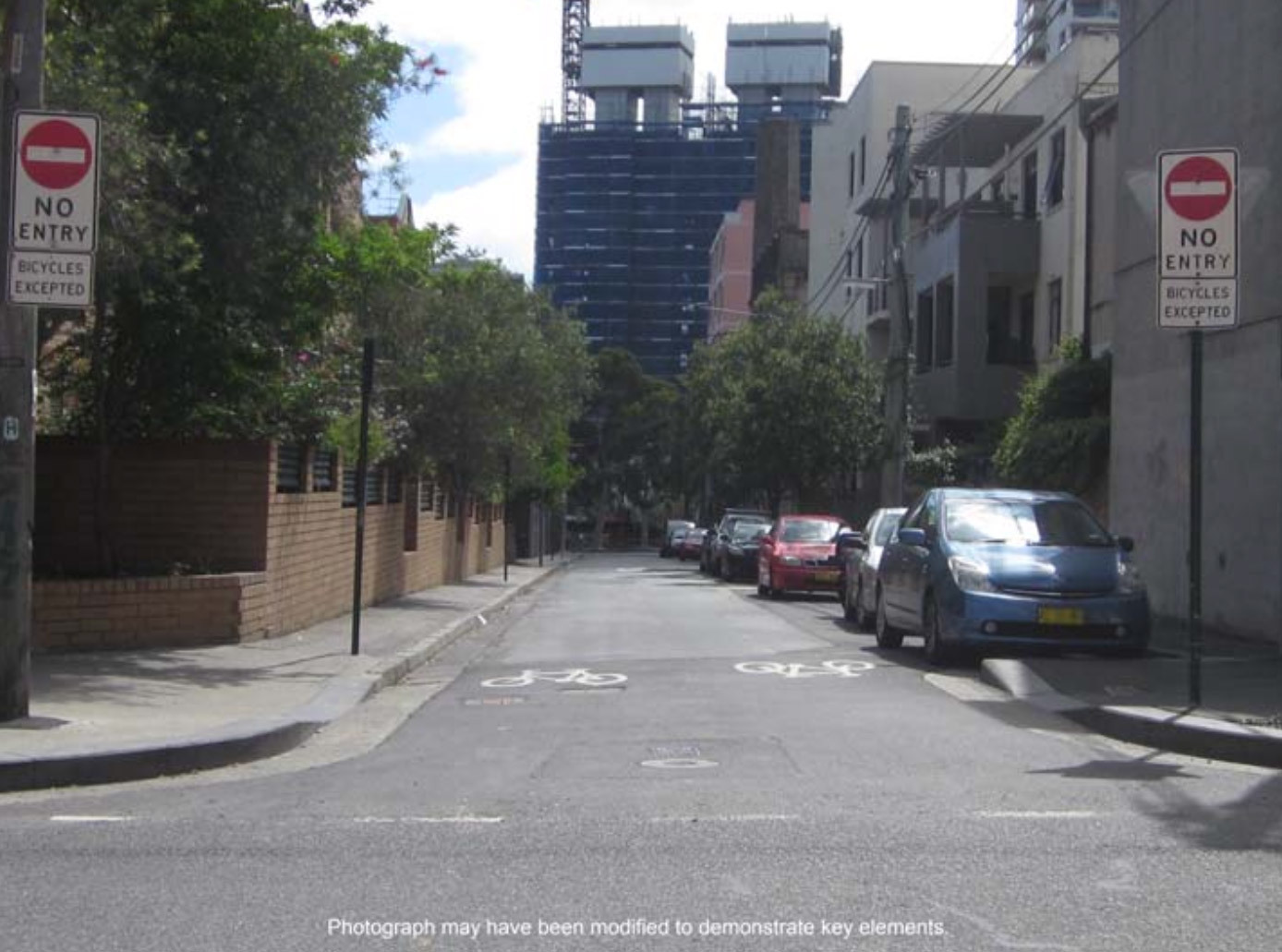
The City of Sydney has recently approved 159 suitable streets across 24 suburbs, which will greatly improve the network of legal cycling routes in inner city Sydney. This blog post is a proposal of additional streets which may be suitable for basic contraflow cycling infrastructure that the council could install in future, with a focus…
-
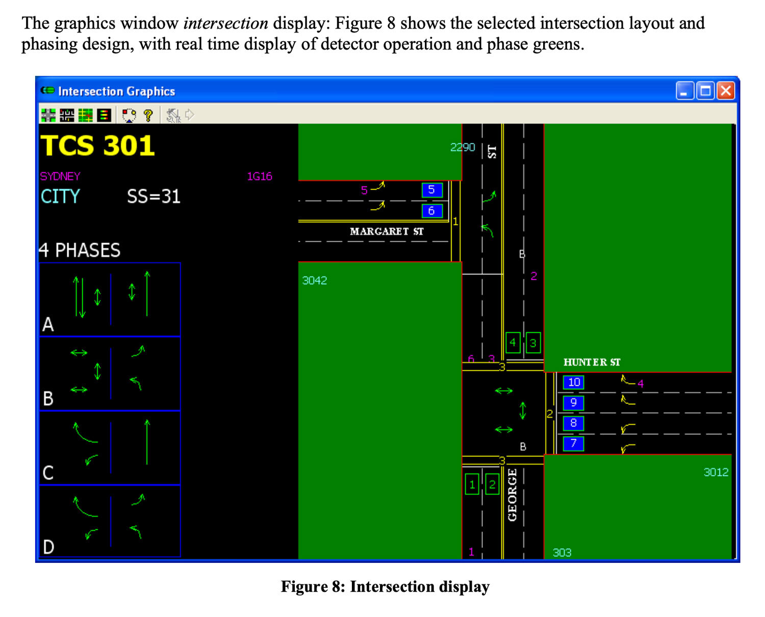
Mapping pedestrian traffic light timing in Sydney, Australia
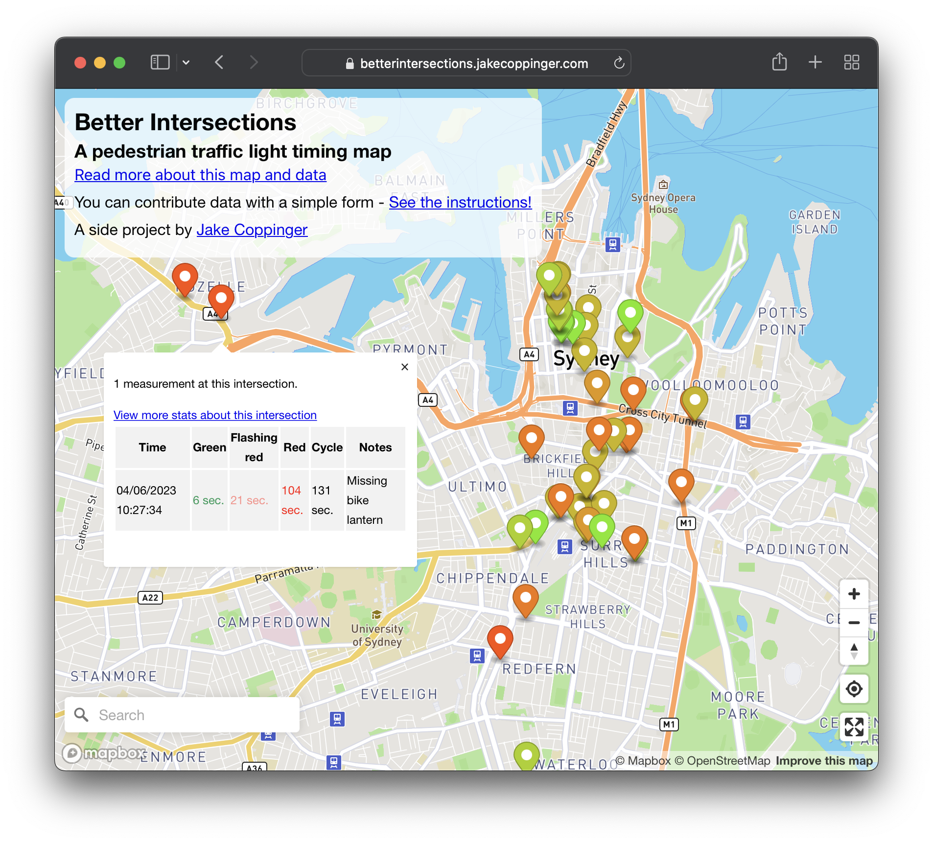
Better Intersections is a tool to record and visualise timing details for pedestrian and bicycle signals. In the absence of traffic light timing data, and as we hold hope for it to become publicly available; the aim of Better Intersections is to crowdsource measurements and inform where positive changes could be made.
-
Generating aerial imagery with your iPhone’s LiDAR sensor
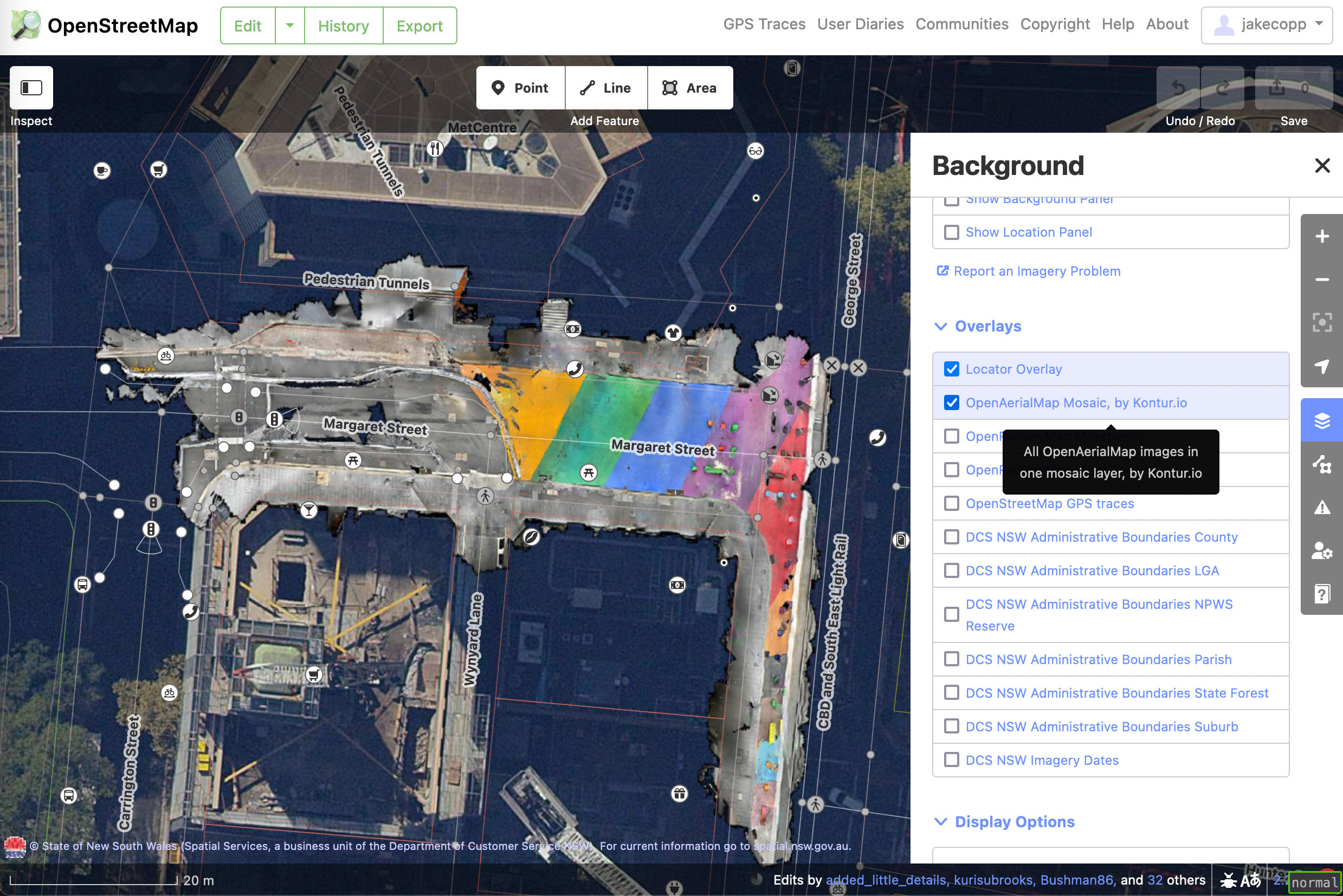
This technical guide details how you can create your own aerial imagery and 3D models of streets with the built in iPhone LiDAR sensor and open source tools in the OpenDroneMap package.
-
Creating aerial imagery with a bike helmet camera (GoPro) and OpenDroneMap
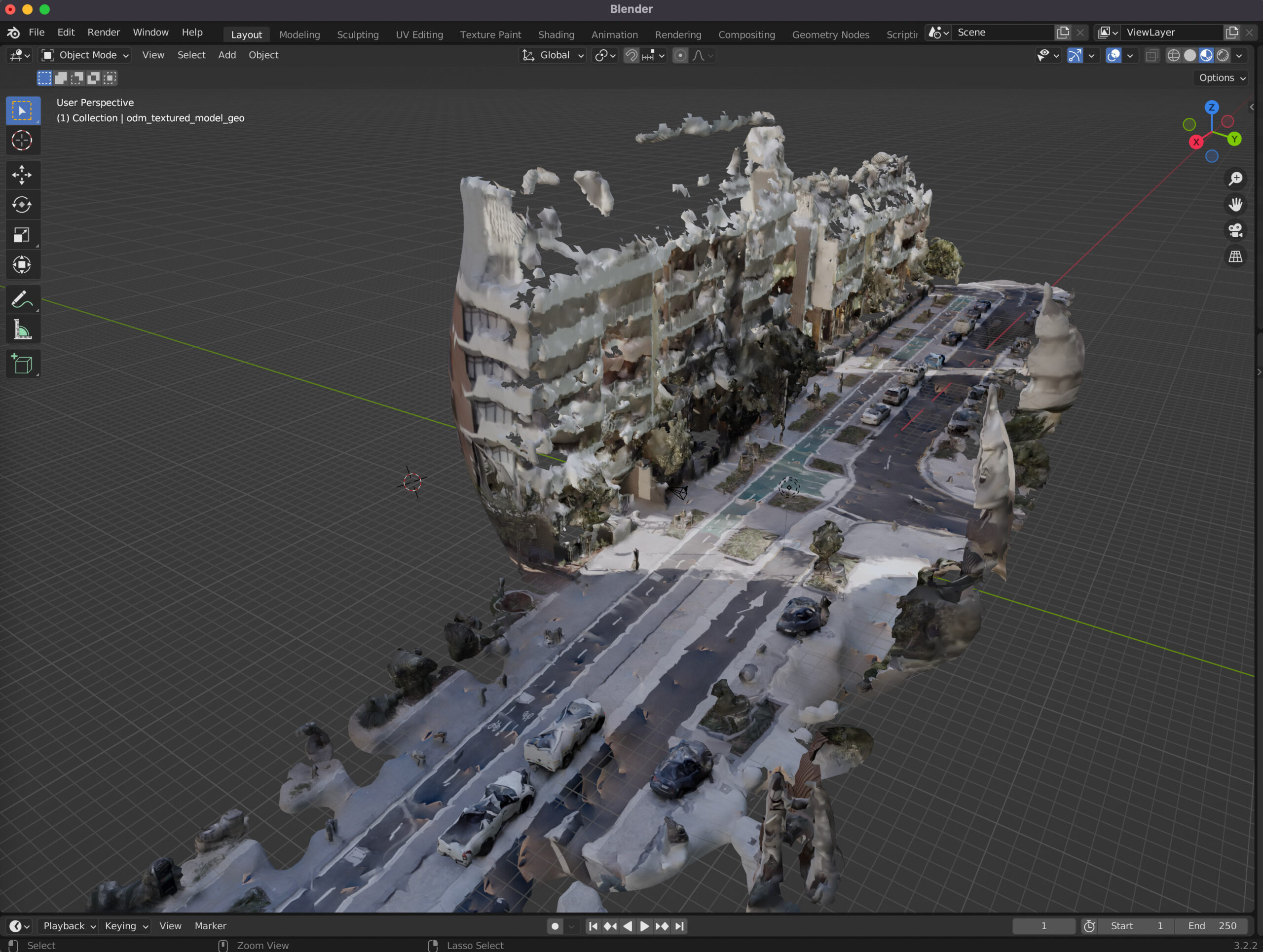
This technical guide details how you can create your own orthorectified (aka satellite view/bird mode) imagery, point clouds and 3D models of streets with nothing but a 360 degree camera mounted on bicycle helmet, and the open source photogrammetry software OpenDroneMap.
