Tag: city of sydney
-
Have you heard of the Southern Arterial Route?
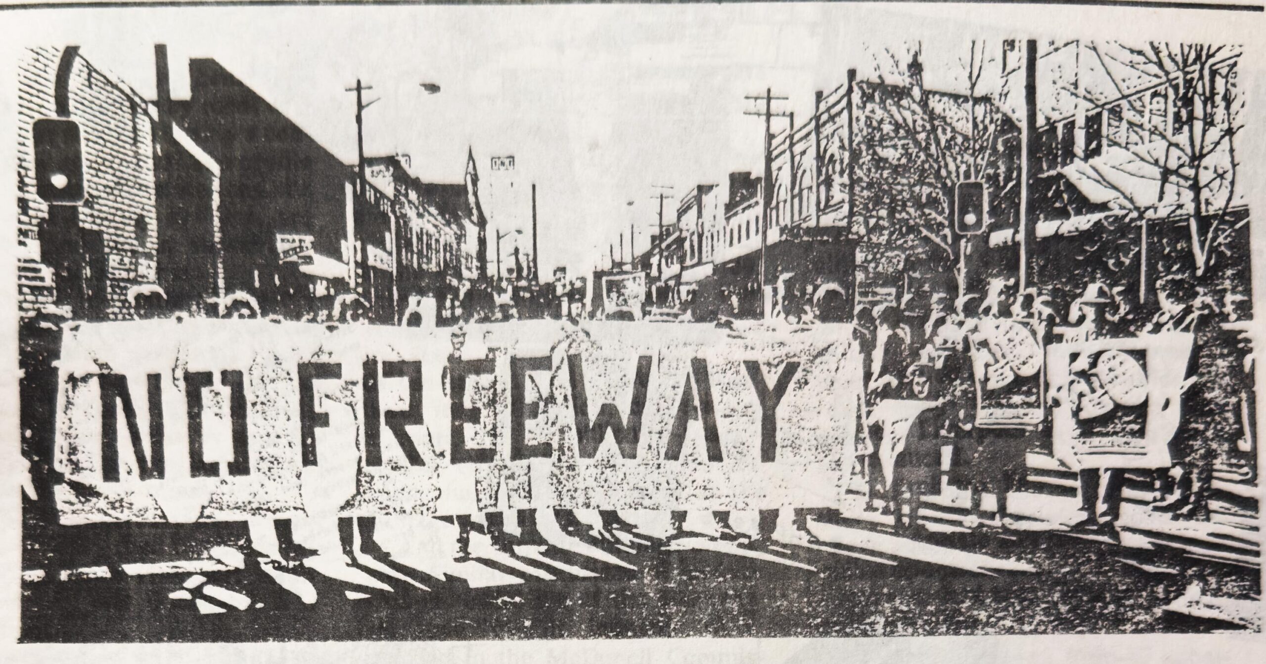
Have you heard of the Southern Arterial Route in Sydney? I hadn’t either – but you won’t be able to unsee the scar through Ultimo, Chippendale, Redfern and Waterloo. Here’s a ~12,000-word Wikipedia article with 153 references – with page numbers, for every sentence – to bring you and your search engine up to speed.
-
Why Won’t the Media Report Accurately on Road Deaths?
Yesterday, a man in his 30s riding a Lime e-bike, motor-limited to 25km/h, was struck by a 28-year-old man driving a garbage truck at Little Regent Street and Broadway, Ultimo – and died at the scene. This is a legal e-bike, and the man was just a few hundred metres from Sydney’s Central Station.
-
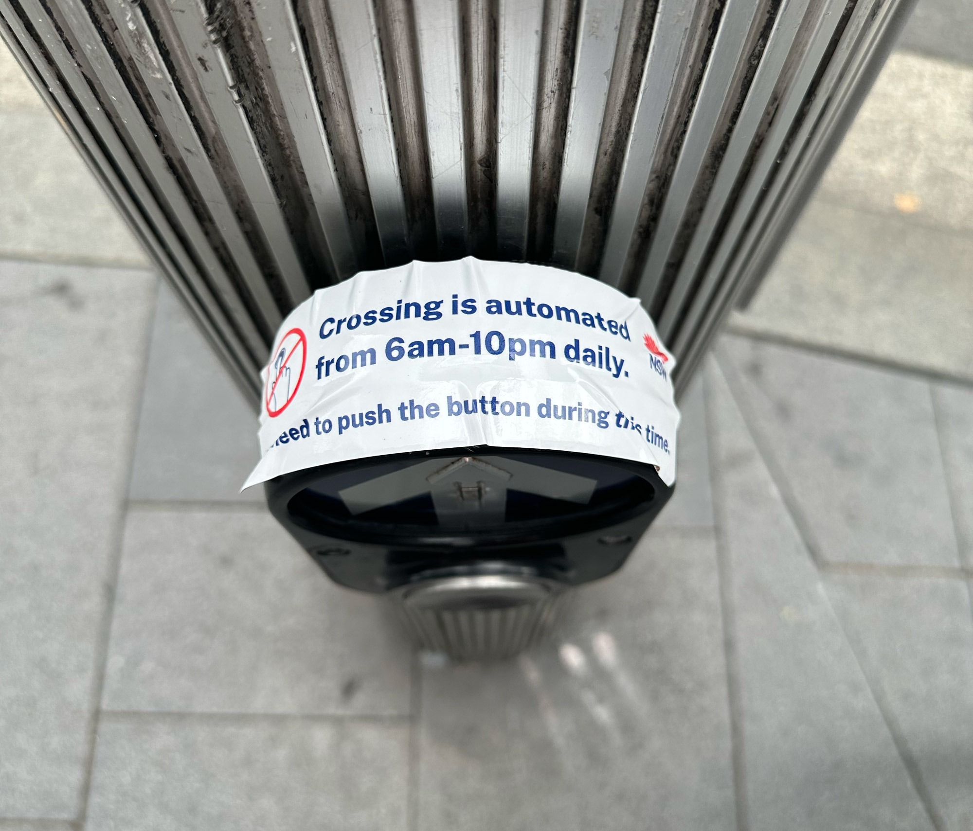
Green Lights More Often: The Secret 2018 Study of Sydney’s Traffic Signals
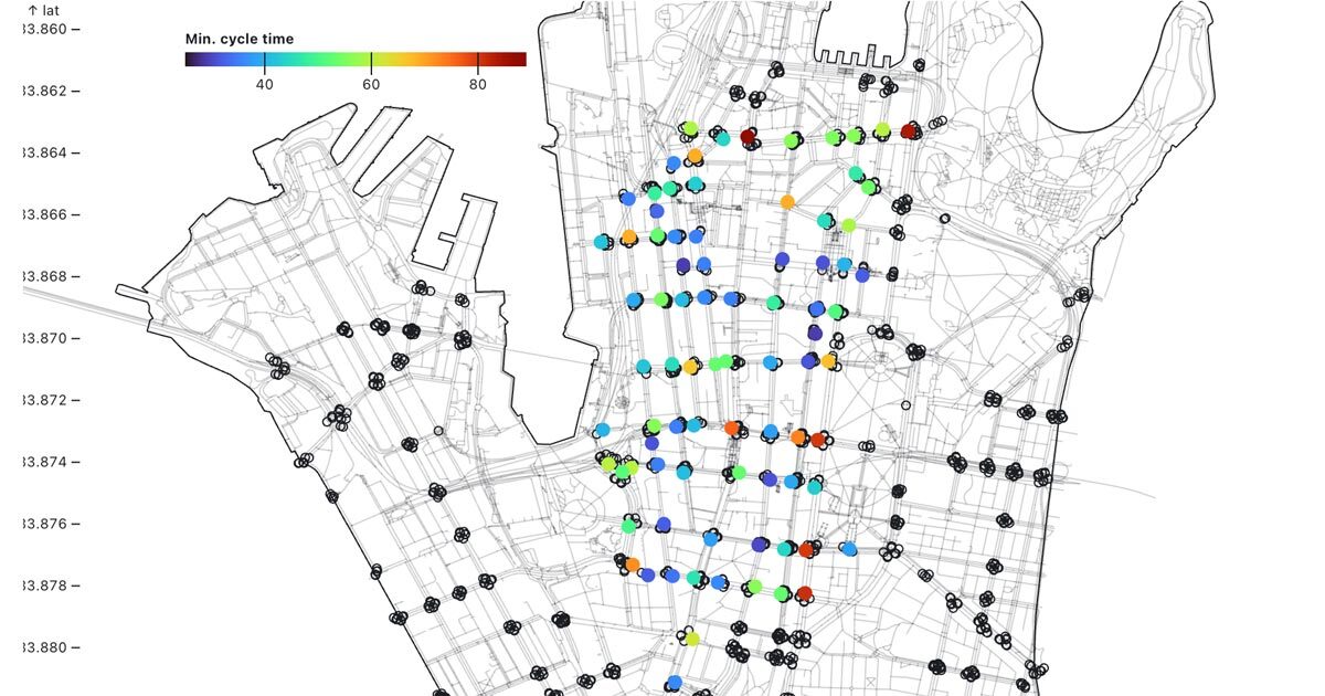
On the 7th of January 2018, Transport for NSW (TfNSW) pulled off something extraordinary – and I personally paid $441 to obtain the previously secret reports documenting it. With such impressive results, why doesn’t TfNSW do it again?
-
Not enough funding for Sydney Park Junction – Addendum REF to cut scope
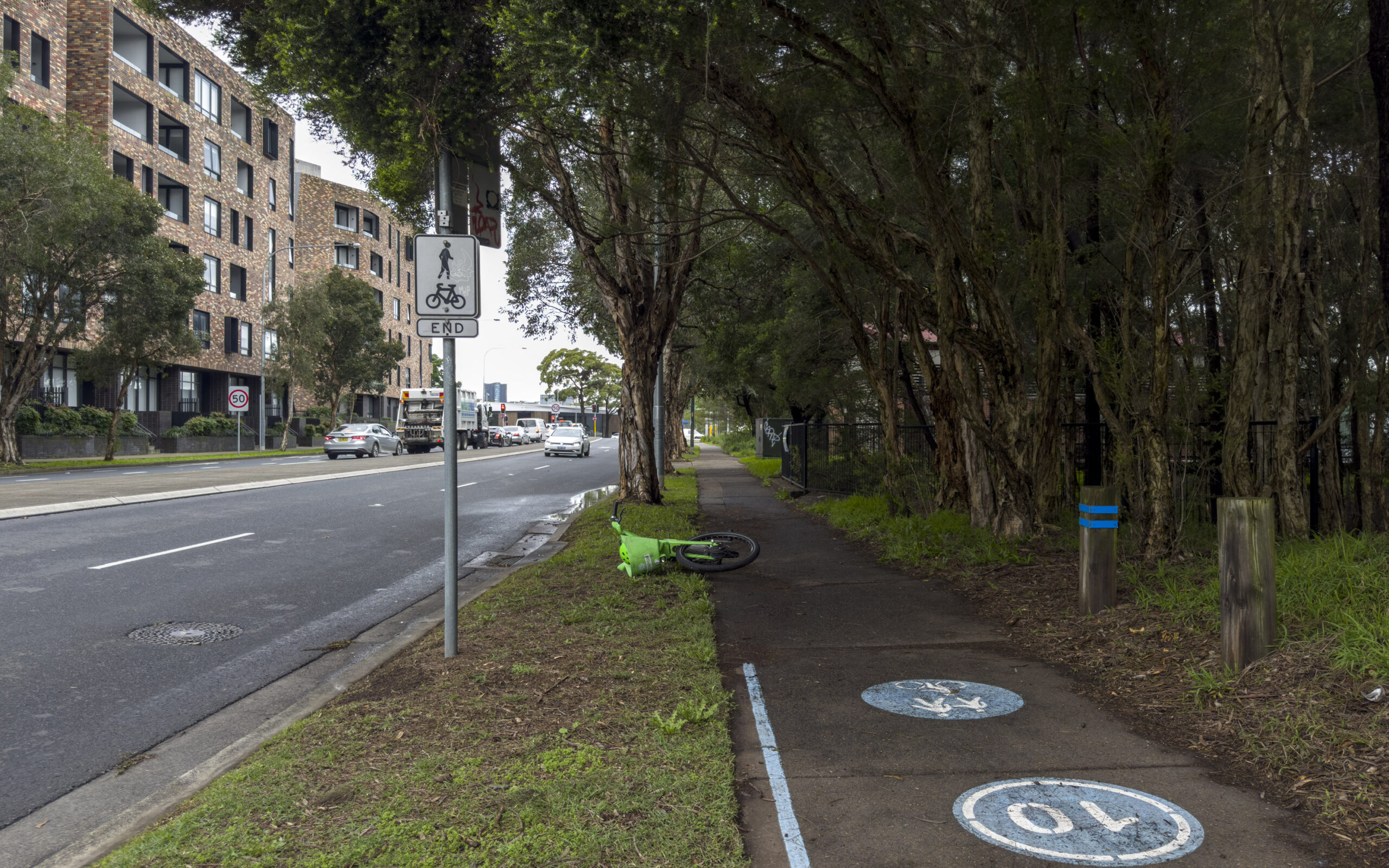
On the 20th of November 2024, Jenny Leong (the Green’s MP for Newtown) asked the State Minister for Transport 21 detailed questions in NSW Parliament regarding the status and fate of the infamous TfNSW Sydney Park Junction project. The public received a response from the Minister for Transport on the 20th of December 2024, which only included answers…
-
Another broken WestConnex promise: secret Sydney Park Junction design changes
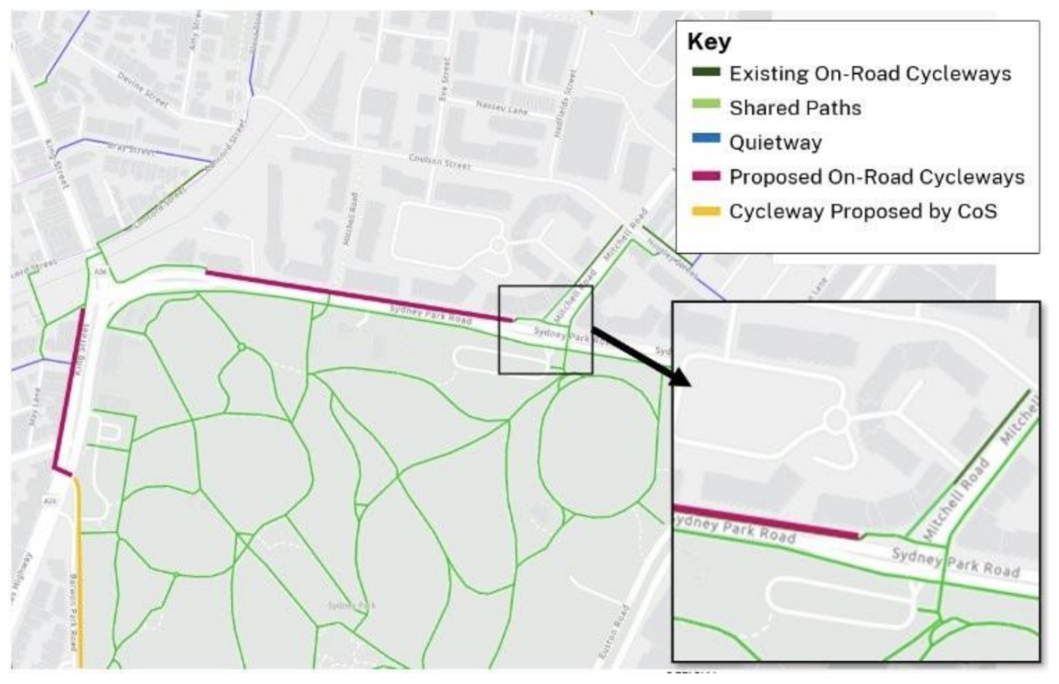
Ever wondered why there are random dead ends for cycle paths in Sydney? This is a deep dive on how one particular missing link might not get fixed after more than seven years of planning. Let this be a record of how hard it is to get safe cycling intersections built in Sydney, even when…
-
Preliminary analysis of Better Intersections data
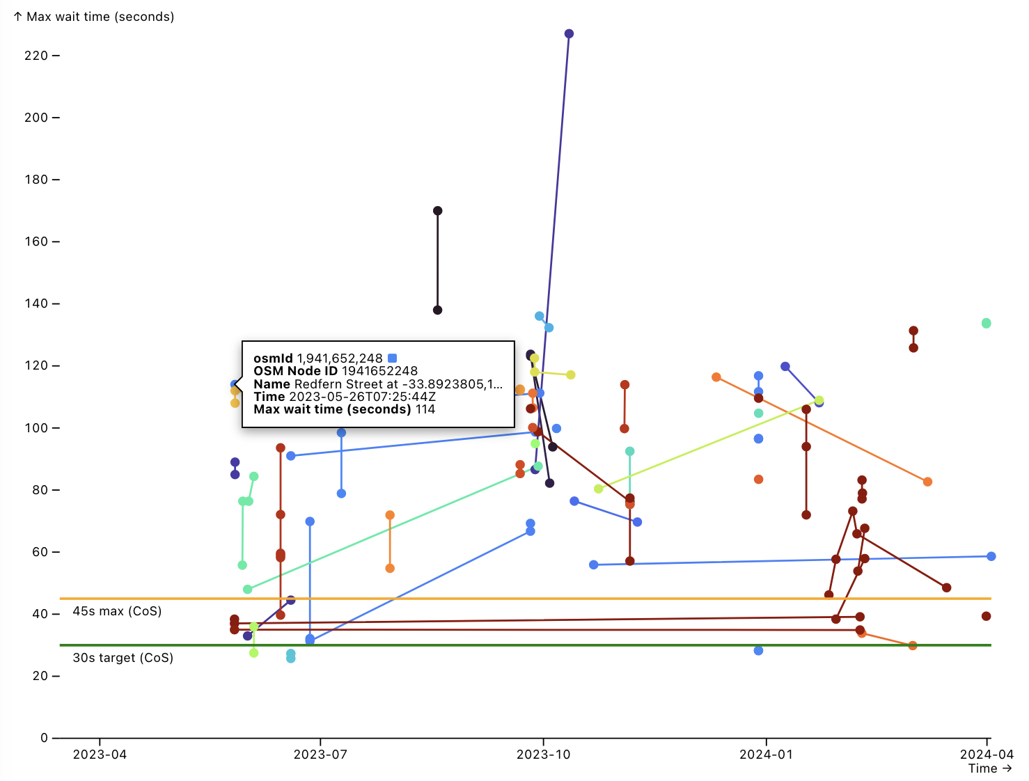
These are a collection of charts picking apart the Better Intersections dataset. They provide multiple avenues to find further patterns in complex and incomplete date, but also as a tool for communicating and demonstrating improvement over time (or perhaps lack thereof).
-
Contraflow streets in the City of Sydney
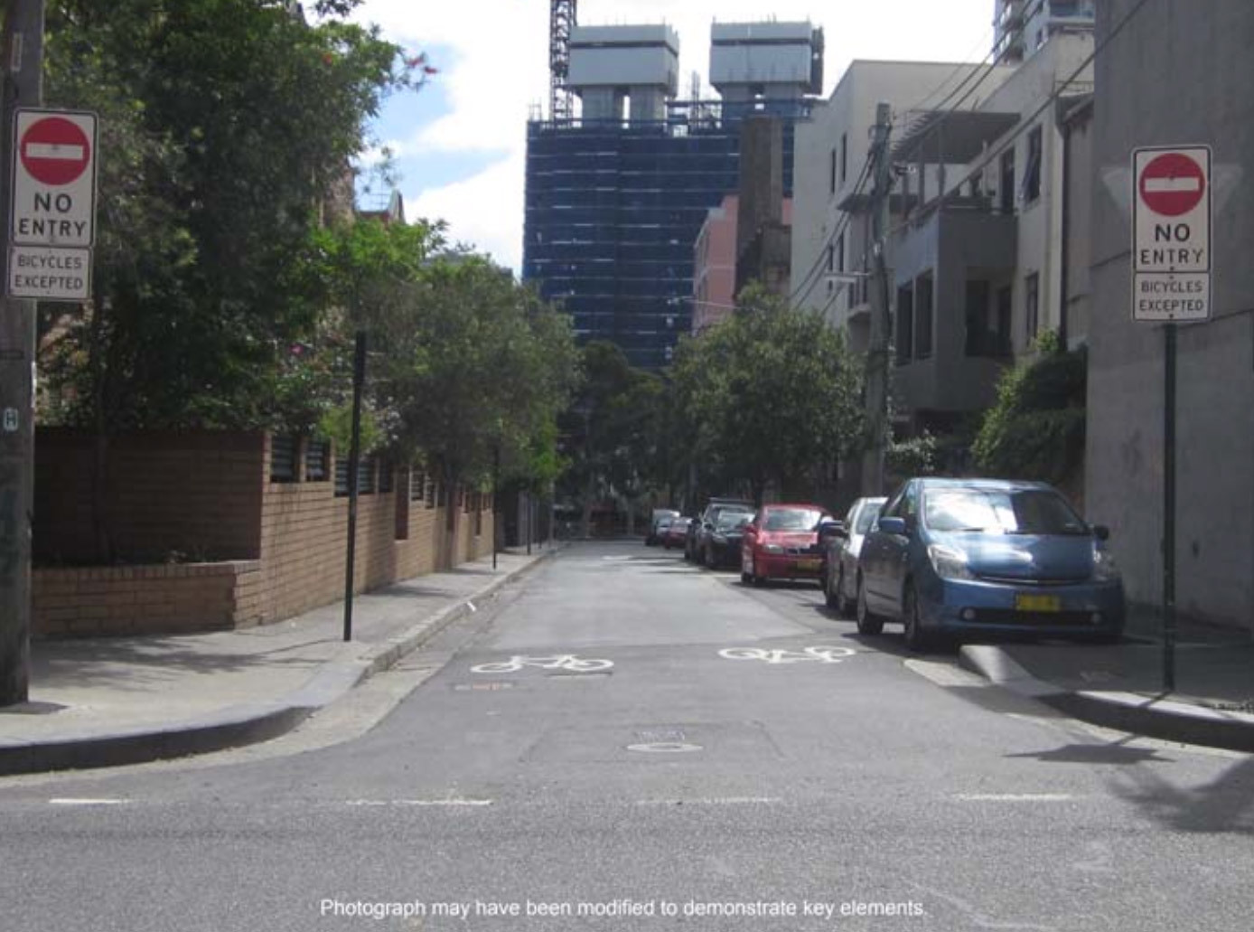
The City of Sydney has recently approved 159 suitable streets across 24 suburbs, which will greatly improve the network of legal cycling routes in inner city Sydney. This blog post is a proposal of additional streets which may be suitable for basic contraflow cycling infrastructure that the council could install in future, with a focus…
-
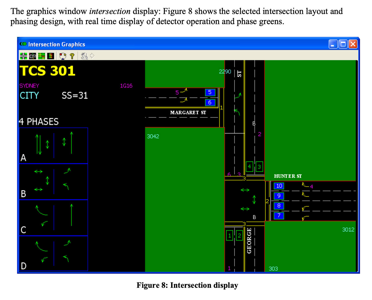
Mapping pedestrian traffic light timing in Sydney, Australia
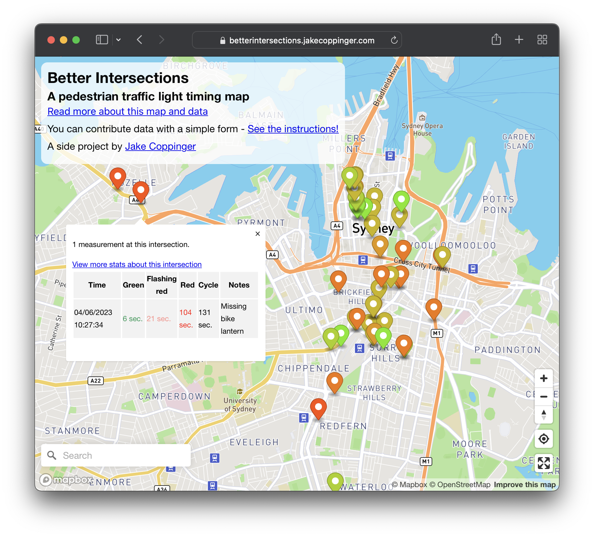
Better Intersections is a tool to record and visualise timing details for pedestrian and bicycle signals. In the absence of traffic light timing data, and as we hold hope for it to become publicly available; the aim of Better Intersections is to crowdsource measurements and inform where positive changes could be made.
-
Observations from Australia’s first Micromobility Conference

Over the weekend I attended Australia’s first micromobility conference. The sessions were organised into themes reflecting the challenges Australia faces in transitioning it’s transport network and urban planning – from car and highway dominated streets to a safer, lower emission and more pleasant city permitting cycling, walking and other journeys.
-
Mapping Sydney Billboards: Every QMS advertising panel in Sydney
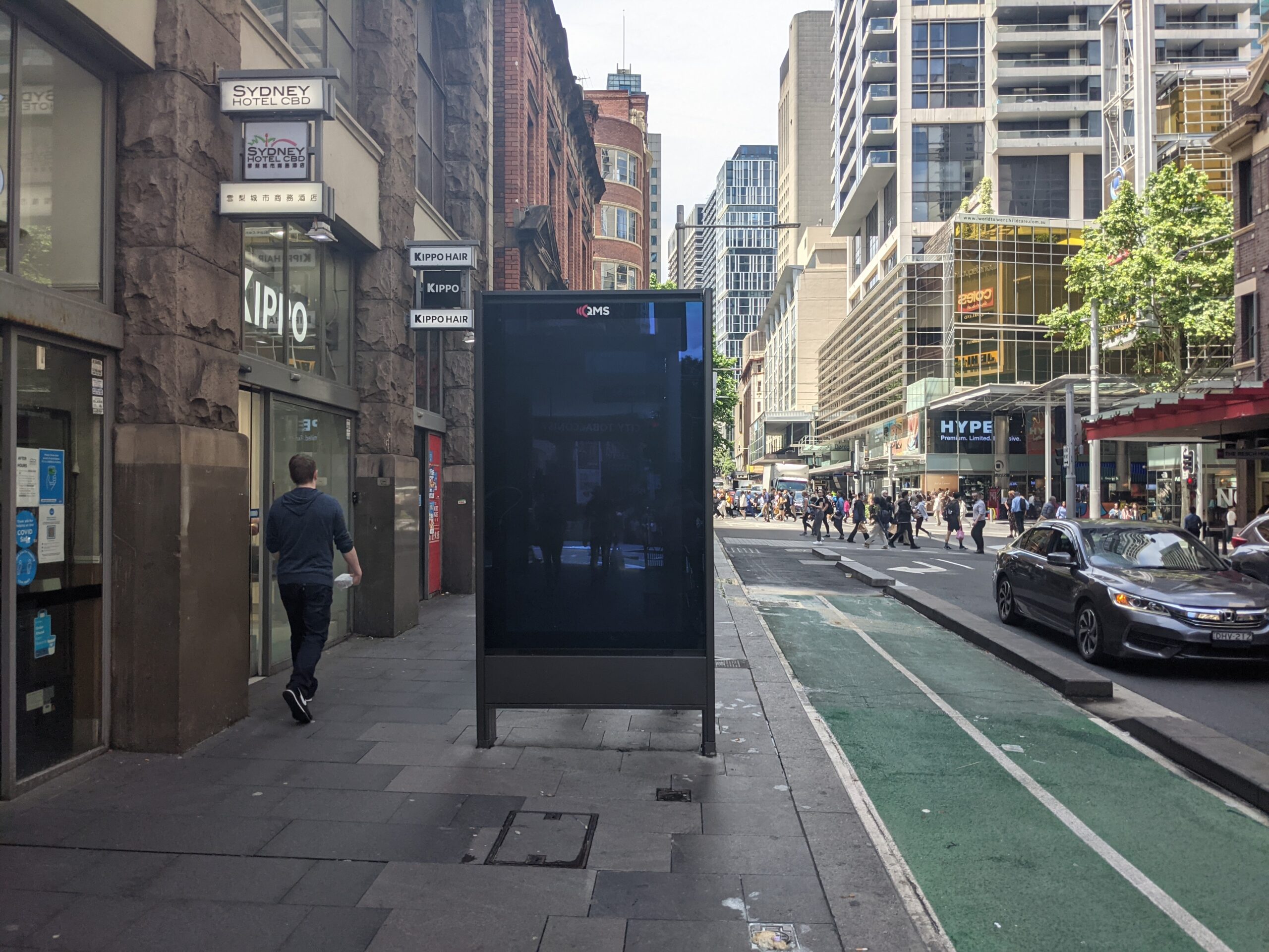
Map live at SydneyAdvertisingMap.com. See also: Max Bo’s analysis of how many placed next to Telstra telephones: https://observablehq.com/@mjbo/sydney-qms-panel-public-telephone-pairings If you live in Sydney you will have seen them – the 86 inch advertising screens in the City of Sydney Council. These advertising panels are known as communication pylons in the language of the developer approvals.…
