Category: Transit
-
Why Did the Chicken Catch the Metro? Because It Was Faster Than Crossing the Road…
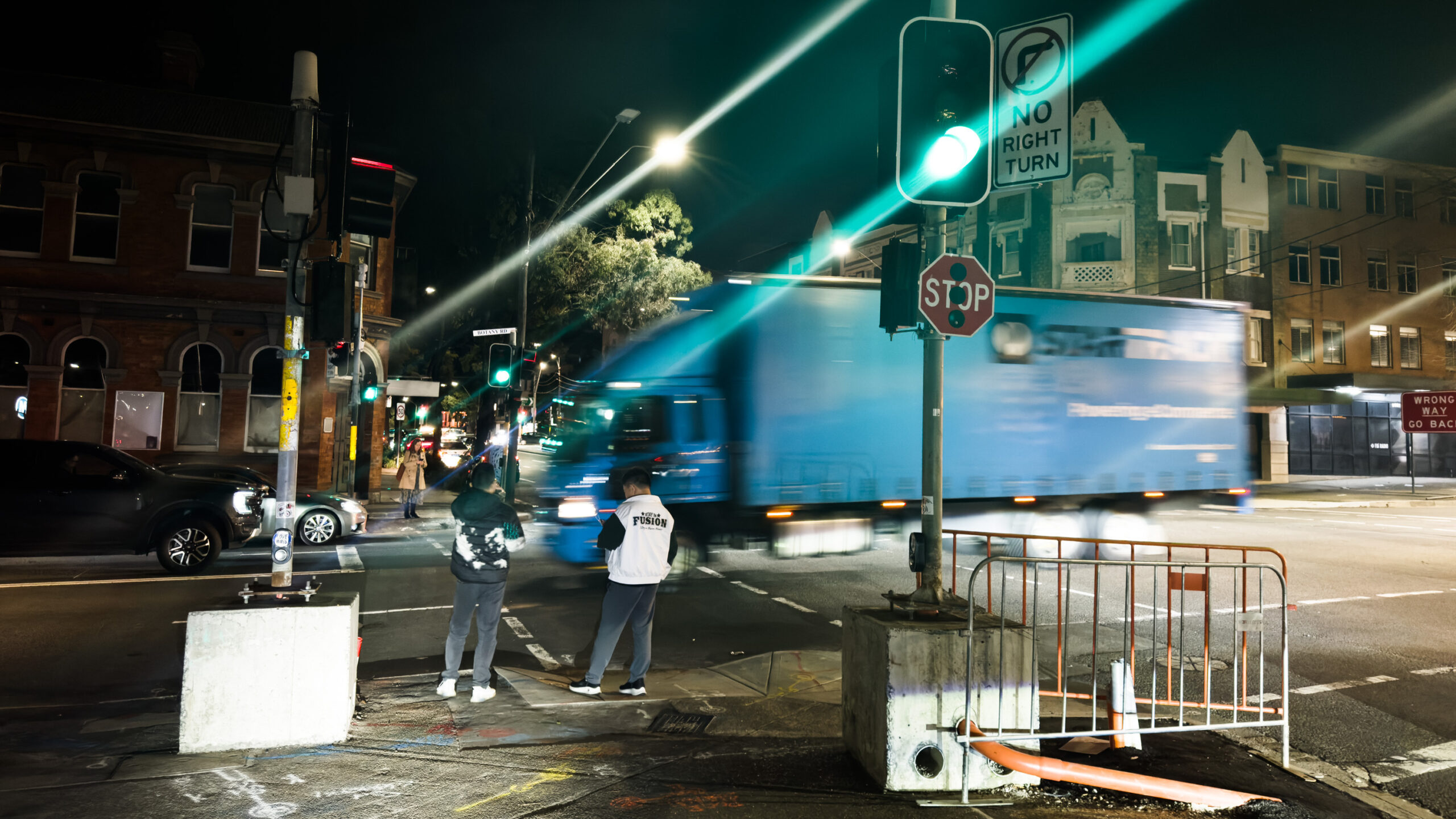
Sydney’s phenomenal new metro takes only ~100 seconds (1m40s) to travel from Central Station to the new Waterloo Station. However, you could be stuck waiting up to ~111 seconds (1m 51s) to cross Botany Rd just outside the Waterloo metro station when you arrive!
-
Subterranean Sydney: A cross-section of Town Hall Station made with iPhone LiDAR
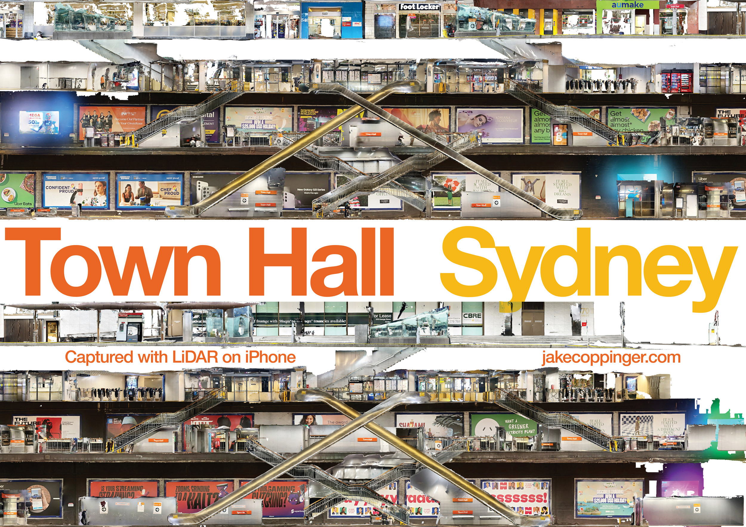
Using just an iPhone with LiDAR to create a cross-section 3D model and image of Town Hall Station with the LiDAR sensor on an iPhone.
-
Visualising Sydney bus congestion with Marey charts
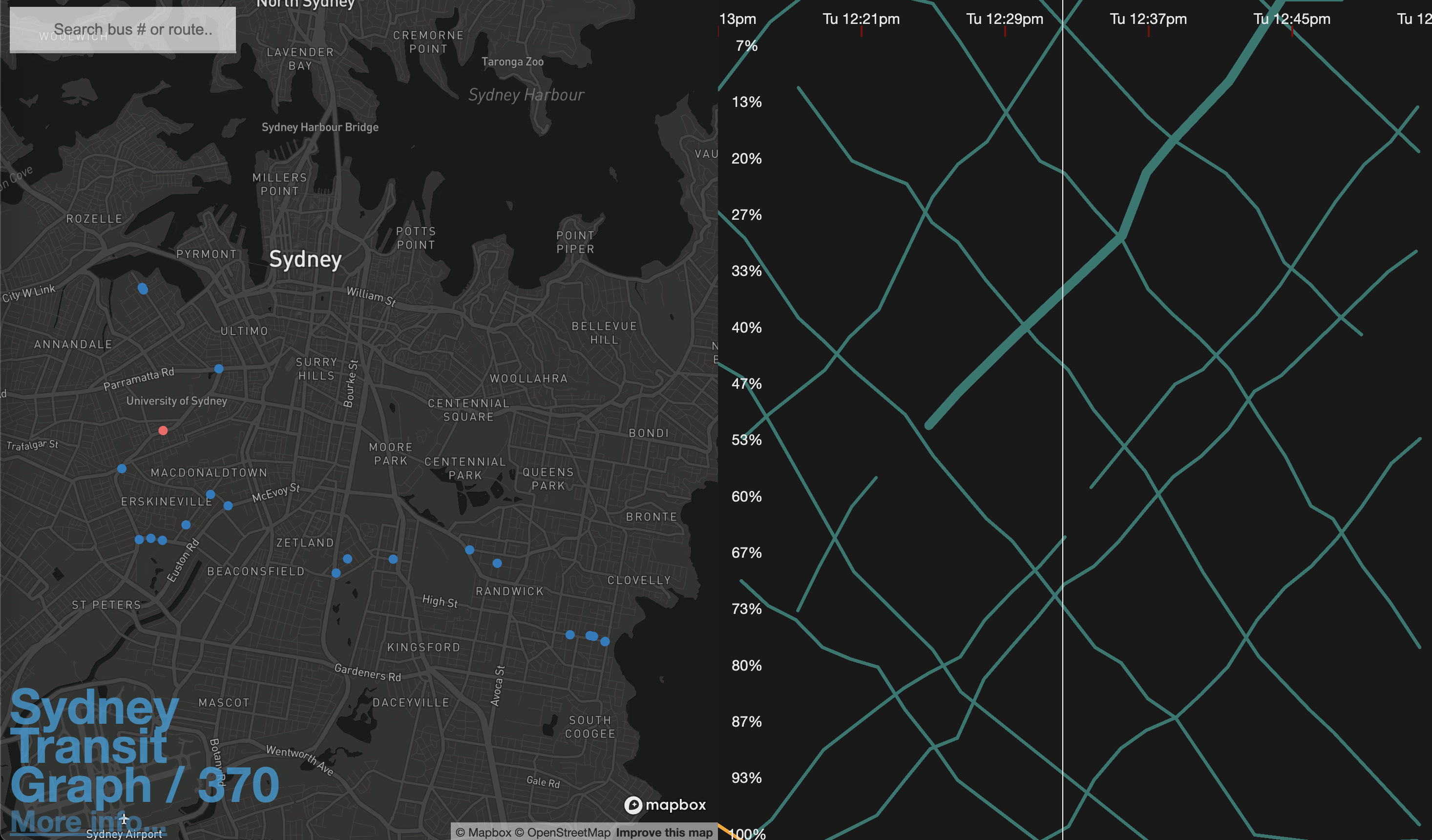
As a side project I built Sydney Transit Graph – a visualisation of real-time Sydney bus congestion. Each line on the graph (a Marey chart) represents a bus completing its route (percentage) over time.
-
Construction of the Sydney CBD & South East Light Rail
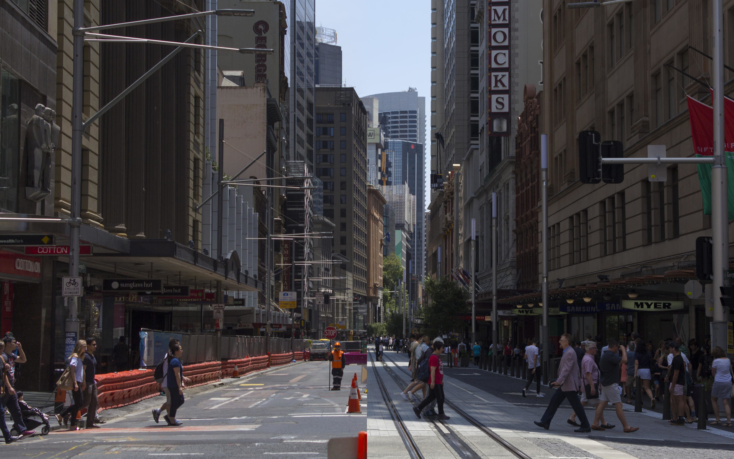
I undertook a four-year project to document the construction over 6 focus trips at various stages of development, as well as after the opening of the Randwick segment.