Tag: cycleways
-
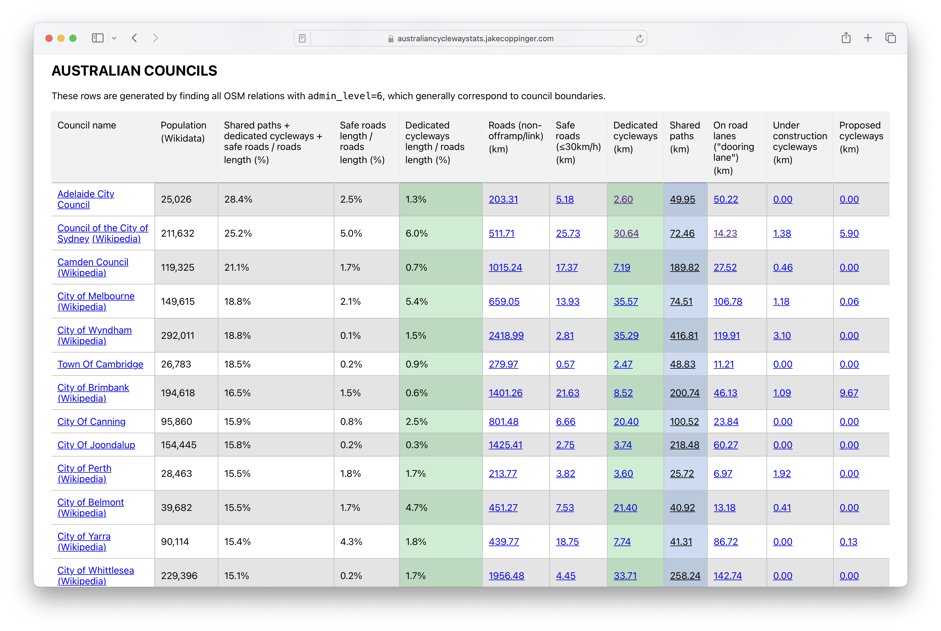
Which Australian councils are building the most cycleways?

Australian Cycleway Stats is a dashboard that provides an in-depth look at the kilometres of cycleways and safe streets in every Australian council, encompassing current, under-construction, and proposed projects, as well as international benchmarks.
-
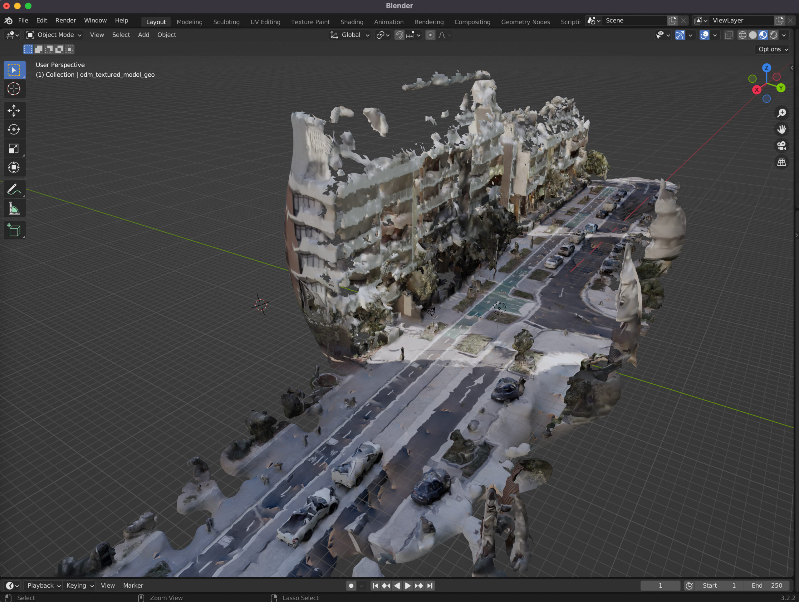
Creating aerial imagery with a bike helmet camera (GoPro) and OpenDroneMap

This technical guide details how you can create your own orthorectified (aka satellite view/bird mode) imagery, point clouds and 3D models of streets with nothing but a 360 degree camera mounted on bicycle helmet, and the open source photogrammetry software OpenDroneMap.