Tag: 360 degree camera
-
Creating aerial imagery with a bike helmet camera (GoPro) and OpenDroneMap

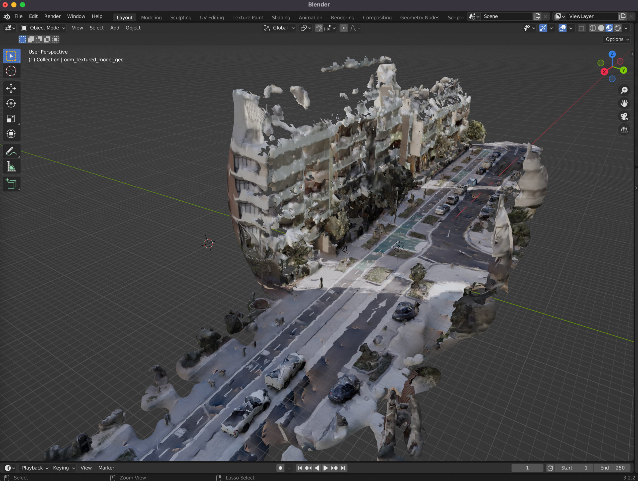
This technical guide details how you can create your own orthorectified (aka satellite view/bird mode) imagery, point clouds and 3D models of streets with nothing but a 360 degree camera mounted on bicycle helmet, and the open source photogrammetry software OpenDroneMap.